
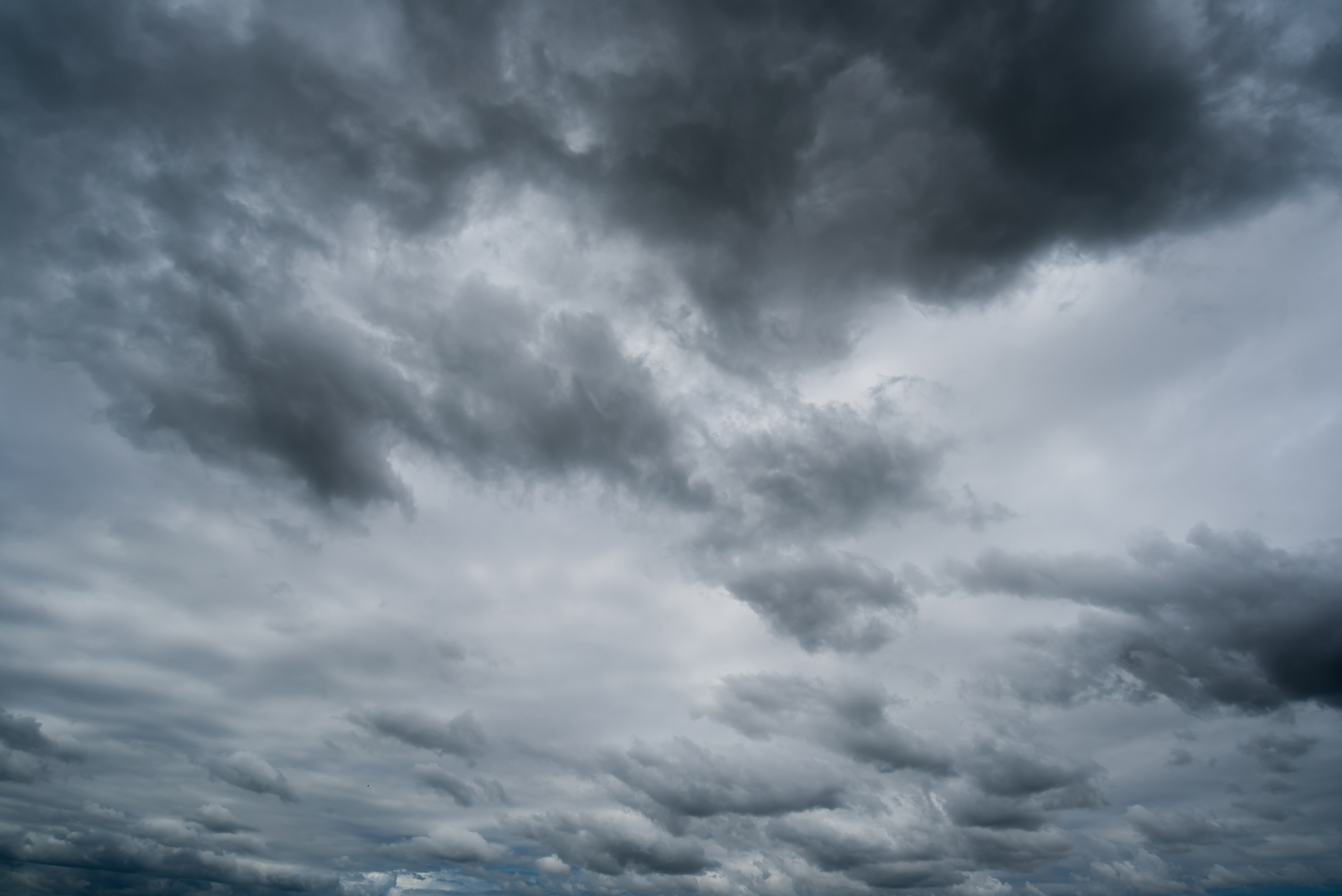
It may be spring, but chilly weather and snow is in the Chicago forecast to wrap up the work week, the NBC 5 Storm Team said.
Thursday looks to be a mostly dry day, NBC 5 Meteorologist Alicia Roman said, though some areas to the south could see a sprinkle or a flurry thanks to thick cloud cover. And though winds Thursday will be calm, it will be cold, Roman said, with high temperatures below average for this time of year.
"You're definitely going to need that winter coat," Roman said.
Thursday morning started out cold, with temperatures in the 5 a.m. hour in the mid-20s. By afternoon, temperatures were expected to rise slightly but remain on the chilly side, with a predicted high of 41 degrees at O'Hare.
Feeling out of the loop? We'll catch you up on the Chicago news you need to know. Sign up for the weekly Chicago Catch-Up newsletter here.
The Chicago weather will turn even more wintry overnight, as a system approaching Central and Southern Wisconsin Friday morning is set to bring some accumulating snow to Illinois' far northern counties through the morning commute.
"Not a lot of snow for everyone, except Central and Southern Wisconsin," Roman stressed. There, the National Weather Service was predicting between three and seven inches of snow. However, McHenry and Lake Counties could see accumulations.
At 1 a.m. Friday, a winter weather advisory will go into effect in McHenry County, the NWS said, lasting through 4 p.m. In those parts, wet snow can be expected, along with snow totals of between two and four inches, the NWS said.
Local

According to the NWS, the highest snow totals were expected to come near the Wisconsin state line.
"Plan on slippery road conditions," the NWS added "The hazardous conditions could impact the Friday morning commute."
In Lake County, one to two inches of snow could be expected, Roman said, adding that a lake breeze could limit totals.
The snow in Lake and McHenry counties is expected to continue through Friday morning, Roman said. In the afternoon, a rain-snow mix is expected to pass through the entire area -- snow is expected further north, where temperatures will be in the 40s, and rain is expected to the south, where temperatures will bump up to the 50s, Roman said.
Snow accumulation predictions for Friday's system vary by area, Roman said. Waukegan could see as much as 2.5 inches of snow, and Woodstock could see around 2.1 inches, Roman said. Other areas could see little to no snow at all, Roman added.
By 9 p.m., the system is expected to move out, Roman said.
Both weekend days remain chilly, Roman added, with highs in the 30s and 40s Saturday, and slightly warmer temperatures Sunday.
