Hurricane Ian slammed into Cuba Tuesday, leaving the island nation without electricity, and is now taking aim at the Florida peninsula as a major storm with sustained winds in excess of 120 miles per hour.
The hurricane, slowly churning toward the north, is expected to make landfall on Wednesday, and could strike just to the south of Tampa, according to the National Hurricane Center.
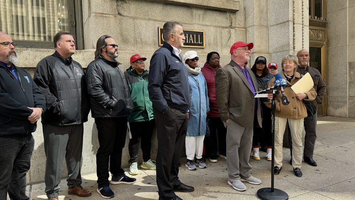
The path of the storm has left Florida residents with tough decisions on whether to stay or to flee, and for Catherine and Ellie Bergerson, who are related to NBC 5 political reporter Mary Ann Ahern, the decision was made to come to Chicago.
“We live two and a half miles from the water,” Catherine said. “So as the saying goes: you prepare for the worst and hope for the best.”
Feeling out of the loop? We'll catch you up on the Chicago news you need to know. Sign up for the weekly Chicago Catch-Up newsletter here.
The Bergerson’s fled from Naples and drove to Miami to catch a flight to Chicago. The hurricane could potentially bring storm surges of up to 12 feet to some coastal areas, and more than a foot of rain could fall in the hardest-hit areas.
Even areas far away from the storm, including Miami, could be buffeted with tropical storm-force winds and heavy rain, leaving residents searching for inland areas.
“It’s definitely a relief that we got further inland and away from water and flooding, but you also don’t know what you’re coming home to,” Ellie Bergerson-Knupp said.
Local
Teri Jacobs was one of the last people to get out of Sarasota before the storm arrived.
“I’m very happy to be home,” she said.
The Velazquez family also made it out of Orlando prior to the storm’s arrival. There, theme parks, including SeaWorld and Disney World, made the decision to close.
“We were like the last ones out,” Melvin Velazquez said.
“Schools are already shut down in Orlando, and you see (them) in grocery stores grabbing water and all the necessities,” Jenny Velazquez added.
According to the National Hurricane Center, life-threatening storm surges are expected along the west coast of Florida, with the worst of the storm expected to hit between Naples and Sarasota. If the storm makes landfall in the southern portion of that area, it could do so as a Category 3 hurricane, but wind shear could knock its ferocity down a bit if it drifts to the north, according to NWS officials.
Hurricane-force winds are expected to hit beginning on Wednesday morning, with tropical storm conditions expected to arrive before dawn.
Heavy rainfall will likely continue to fall through Thursday, causing “catastrophic flooding” across central Florida. Some locations may see 15 or more inches of rain.
Serious flooding is expected throughout the rest of the peninsula.
Later in the week, the storm will impact Georgia and other parts of the southeast this weekend. Georgia Gov. Brian Kemp has already declared a state of emergency ahead of the hurricane, which is expected to impact his state on Friday.


