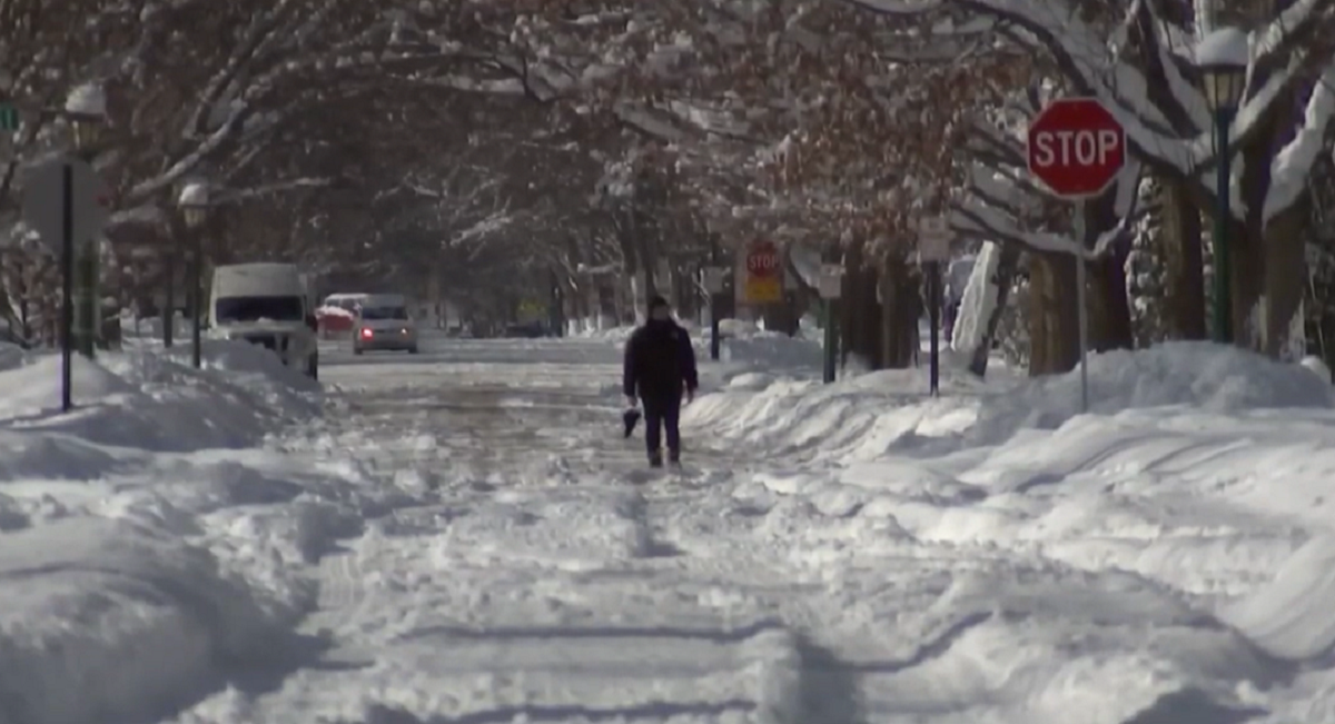
The next week is going to be cold around Chicago. It is January after all, but it may not stay this cold for as long as we thought. There are a couple of signs pointing to a milder-than-average second half of the month.
First, the cold air over this next week isn’t as cold as forecast models were showing a week ago. Morning temperatures are going to be below average with wind chills around 0° a few days. However, more than a week ago model runs were indicating wind chills of -20 to -30°. It’s common for numerical models to exaggerate hot or cold extremes when going beyond a week out.
Forecasting exact temperatures more than a week out is tricky, especially around big storm events, which is why meteorologists monitor trends before showing exact numbers (this applies to snow forecasts too). Now seems like a good time to remind you, don’t believe or share social media posts that show major winter storms two weeks out.

We may not be able to accurately predict an exact temperature two weeks out, but we can get a pretty good understanding of pattern and trend changes. For that, we turn to the North Atlantic Oscillation, or NAO.
The NAO is an atmospheric pattern in the north Atlantic that alternates between positive and negative phases roughly every 2 to 4 weeks. Essentially, higher and lower heights of equal pressure will swap from north and south.

When the NAO index is positive, we typically experience warmer weather in the Midwest and eastern U.S. When it’s negative, we experience colder weather.
Well, forecast model ensembles, or several sets of model runs, are showing a turn from a negative NAO to a positive NAO by mid January. This would mean a milder second half of the month, and possibly a mild beginning to February. NOAA Climate models that can forecast 32 days out are indicating the same pattern shift.
Feeling out of the loop? We'll catch you up on the Chicago news you need to know. Sign up for the weekly> Chicago Catch-Up newsletter.

There is always a caveat in meteorology, so yes there are also some global ensemble models that suggest the NAO stays in a negative phase a little longer. However, the majority of signs are pointing to a positive phase, so that is the more likely outcome. We’ll be monitoring the updates every day.
While, the next 7 to 10 days are looking cold, temperatures may be back to the upper 30s and 40s soon after, bringing some bad news for snow lovers.


