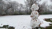
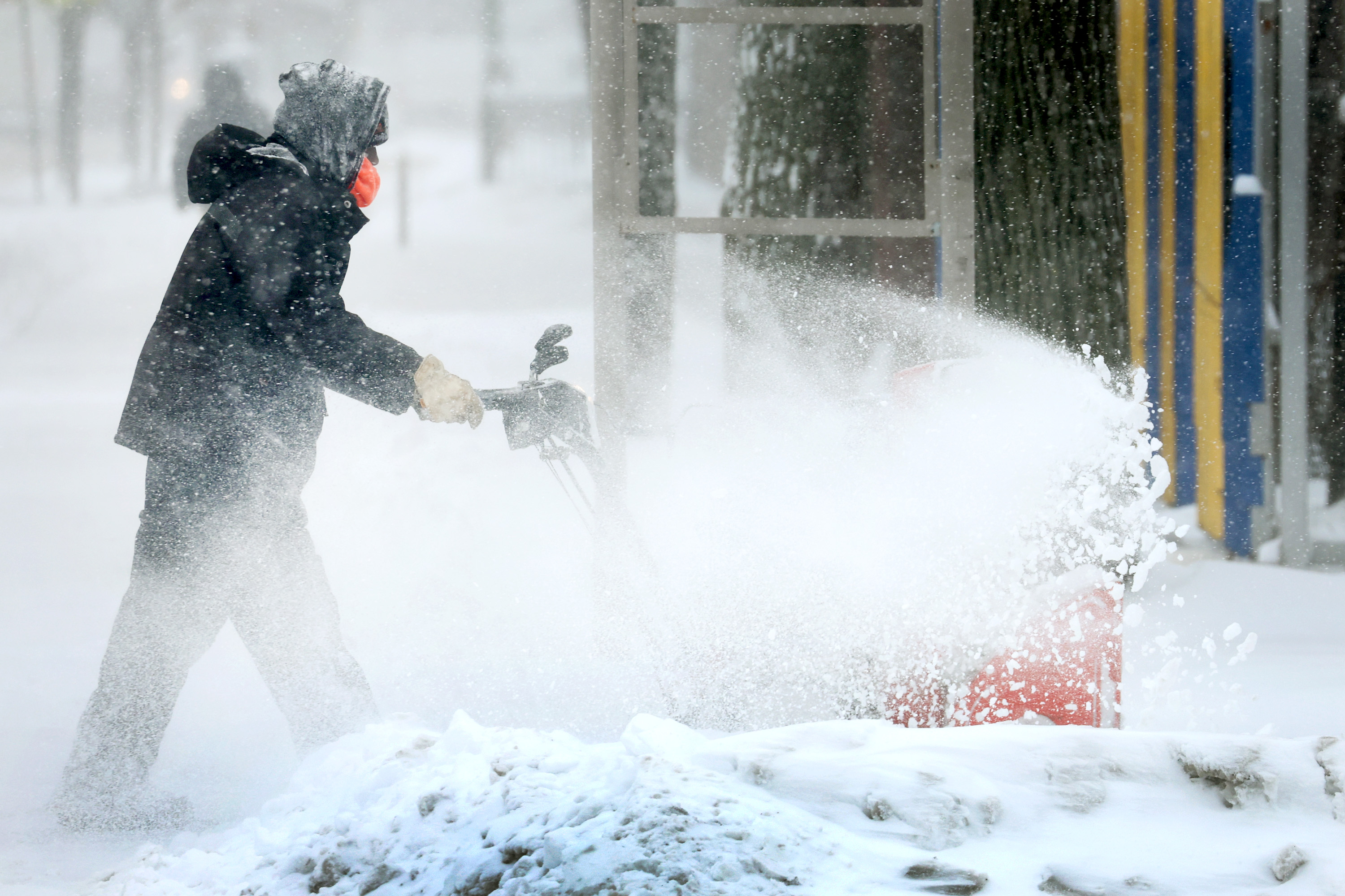
Tuesday morning the Chicago area saw its first measurable snowfall of the season, but certainly not the last. In fact, snow isn't going anywhere just yet -- and neither is the cold.
"Too early," one suburban resident said Tuesday, of the winter weather. "Way, way too early."
"If I had my choice, I'd move to Miami," said another.
While the snow continued to fall across the city and suburbs Tuesday evening, the sky was mostly clear overnight. Looking ahead, The National Weather Service reports that snow showers are expected to develop across the area Wednesday morning and into the afternoon.
According to the NWS, some of those showers are predicted to produce "brief bursts of heavy snow," resulting in reduced visibility on the roads and slick, slippery commutes.
Forecasting models show the highest amount of snow is most likely to fall between 1 a.m. and 6 p.m. However, according to NBC 5 Storm Team, accumulations are expected to be minimal, with most areas seeing less than an inch.

Lake-effect snow is also expected to develop in parts of northern Indiana, with some areas closer to Lake Michigan potentially seeing over an inch of accumulation, NBC 5 Storm Team says.
And while the snow is expected to taper off Thursday, bone-chilling temperatures are forecast to move in.
Wednesday, although temperatures remain on the warmer side with highs in the upper 30s, wind chills in the 20s will make it feel much colder, according to NBC 5 Storm Team.
Feeling out of the loop? We'll catch you up on the Chicago news you need to know. Sign up for the weekly> Chicago Catch-Up newsletter.
Read More: Full Weekly Forecast
Lows through the weekend are expected to drop into the teens across the region, with high temperatures settling into the mid-to-upper 20s by Friday.
A slight warmup is expected ahead of the Thanksgiving holiday, but temperatures are only expected to rebound up toward their seasonal averages in the low-to-mid 40s, according to forecast models.
Snow Totals for Tuesday
How much snow did you get? Here's a look at National Weather Service snow totals as of 10 a.m. Tuesday across the Chicago area, as flakes continued to fall:
- Cook: 2.7 inches
- DeKalb: 1.9 inches
- DuPage: 3.1 inches
- Grundy: 0.4 inches
- Kane: 1.8 inches
- Kankakee: 0.7 inches
- Kendall: 3.5 inches
- Lake: 1.9 inches
- LaSalle: 3.5 inches
- McHenry: 1.2 inches
- Will: 3.5 inches
How to Check Road Conditions
The Illinois Department of Transportation's Getting Around Illinois website offers a look at current winter conditions across the state.
Using a map, the site tracks which roadways are clear and which are partly, mostly or completely covered with ice or snow.
It also highlights so-called "trouble spots," where things like blowing snow have been reported or bridges and roadways prone to icing.
You can check winter road conditions across the state here.


