
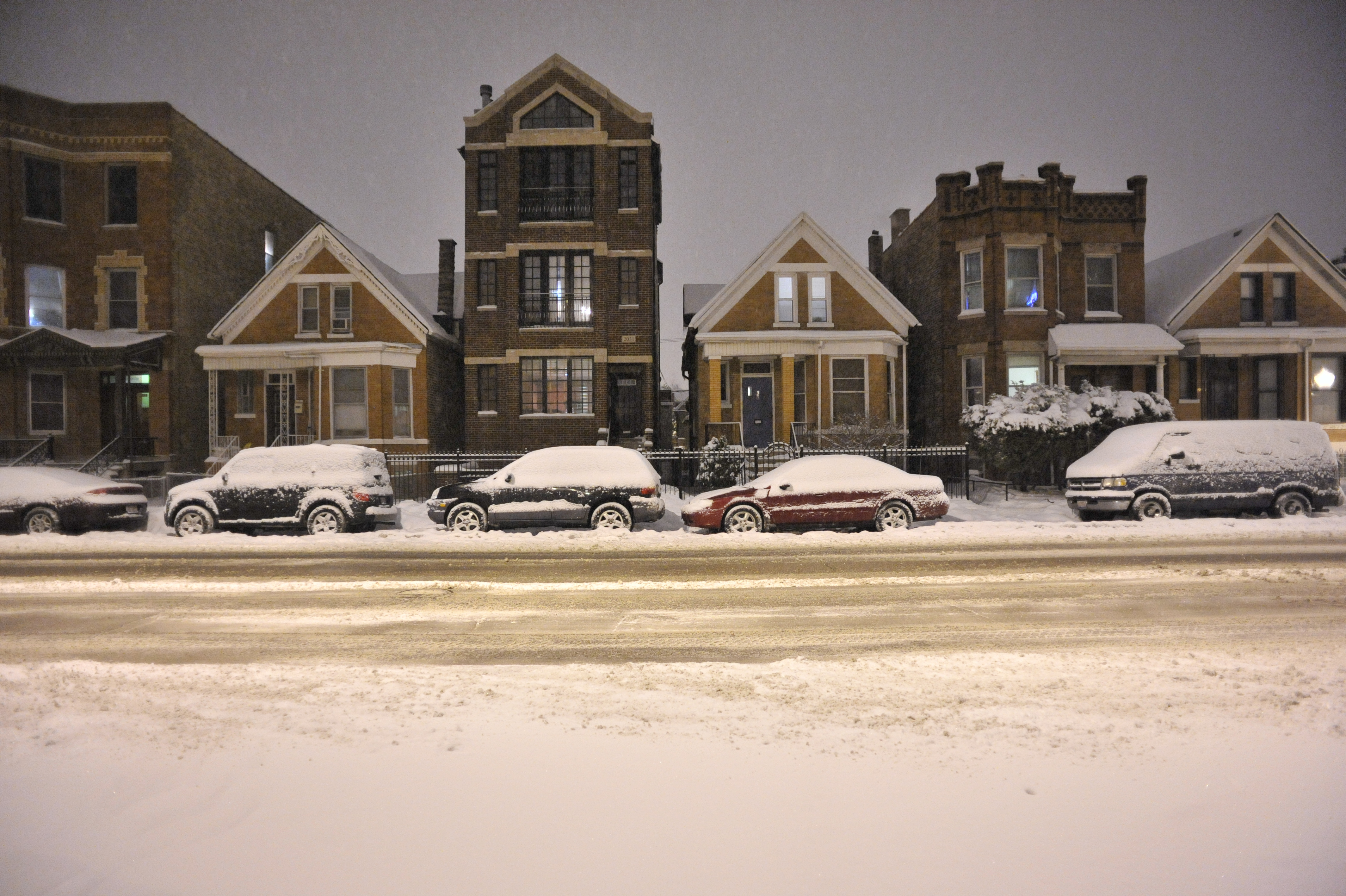
As Christmas and the first day of winter loom on the horizon, Chicago's forecast is expected to get much colder, snowier, and downright dangerous -- with very gusty winds, frigid wind chills and the potential for blizzard-like conditions, forecast models show.
According to the NBC 5 Storm Team, the week starts off mild but cold, with high temperatures in the upper-20s and bits of sunshine Monday. Overnight and into Tuesday, forecast models show a dusting of snow is possible, with high temperatures resting comfortably right around the freezing mark. Tuesday is also predicted to bring a chance of flurries or patchy, freezing drizzle, mainly northwest of Interstate 55.
And while Wednesday is expected to remain mild and dry with highs in the mid-20s, don't be fooled -- a winter storm approaching and intensifying overnight is predicted to kick things off with snow and strong, windy conditions for Thursday morning's commute and through the evening, Storm Team 5 says.
How Much Snow Could We Get?
Although the exact storm track hasn't yet been determined, models predict heavy snow all day Thursday, with increasing winds and temperatures falling late in the day.
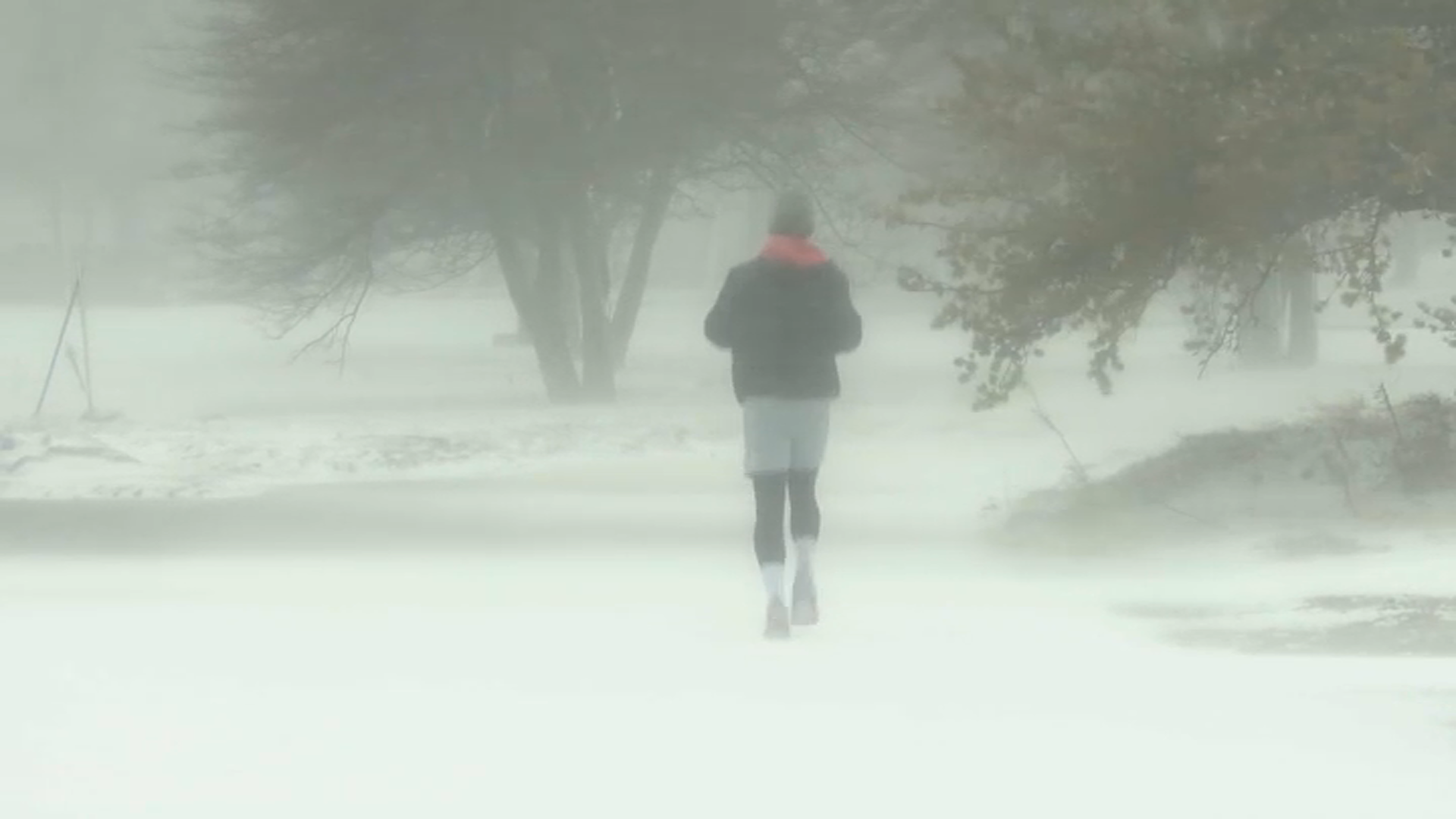
According to the NBC 5 Storm Team, it's too early in the week to predict specific snowfall amounts. However, heavy flurries mixed with windy, blowing snow and potential lake-effect enhancement could bring possible blizzard conditions Friday.
The National Weather Service reports hazardous travel conditions are expected Thursday through Saturday, with the worst conditions predicted to be Thursday evening through Friday evening. According to models, the greatest threat will be strong, gusty winds and bitter cold temperatures, potentially resulting in power outages and significant lakeshore flooding, mainly for northwest Indiana.
"Bitterly cold air and strong winds will bring dangerously cold conditions Friday through Sunday," the NWS said in a tweet.
Feeling out of the loop? We'll catch you up on the Chicago news you need to know. Sign up for the weekly Chicago Catch-Up newsletter.
By the weekend, with temperatures predicted to be below normal, the forecast models show the Chicago area could not only see a White Christmas -- which, by definition must include at least one inch of snow on the ground -- but a bitterly cold one, too.
According to the NBC 5 Storm Team, Saturday will bring another chance of lake-effect snow to northwest Indiana, wihth clouds, blowing snow and dangerous wind chills in the city and suburbs.
High temperatures are expected to reach only into the single digits.
And while Christmas Day is expected to be mostly dry with some sunshine, it'll be an awfully cold holiday, with a high of 12 degrees, NBC 5 Storm Team says.
What Are Blizzard Conditions?
According to the NBC 5 Storm Team, a specific set of conditions must be met in order for a weather pattern to be considered a blizzard. They include snow or blowing snow, wind gusts of at least 35 miles-per-hour, and visibility of a quarter-mile or less.
All three of those conditions must be present for at least three hours for a storm to be labeled a blizzard, NBC 5 meteorologists report.
According to NWS, the snowiest Christmas on record for the Chicago area took place in 1950, when the city say just over five inches of snow.