Alicia Roman has the latest forecast.
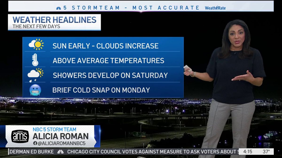
The Chicago area will see one more day of 50 degree temperatures before rain showers and a quick cold snap move in, the NBC 5 Storm Team said.
According to NBC 5 Meteorologist Alicia Roman, Friday morning will see some sun early, with clouds increasing throughout the day.
By Friday evening, the cloud cover is expected to be thicker, setting the scene for rain showers to move in Saturday.
Around 8 a.m. Saturday, rain is expected to move in from the south, becoming more scattered across the northern suburbs Saturday afternoon and evening.
Sunday, will be mostly dry, Roman said, though a sprinkle or two could remain.
High temperatures Friday are expected to hit the upper 40s to low 50s, Roman said, with temperatures remaining in the 40s over the weekend.
Local
Monday however, colder air is set to move in, bringing temperatures to a high of only 33 degrees. Tuesday will remain on the chilly and blustery side, but temperatures are expected to rise back up into the 40s, setting up for more mild, above-average temperatures as the first day of winter approaches.
Recent forecast models show those warmer temperatures are likely to continue this winter, with experts saying there's a good chance this winter's El Niño could be "historically strong."
Feeling out of the loop? We'll catch you up on the Chicago news you need to know. Sign up for the weekly Chicago Catch-Up newsletter.
What does an El Niño winter mean for Chicago?
As the jet stream shifts farther north from Chicago, it could give us a milder and drier winter.
However this isn’t always the case, and we can still get some big snow events even during an El Niño winter, according to NBC 5 Storm Team Meteorologist Kevin Jeanes.
The stronger the El Niño, the more likely we’ll have a drier and milder winter. The weaker it is, the lower the correlation.
So what kind of El Niño is forecast this season?
According to the Climate Prediction Center, the Chicago area is currently in a “moderate-to-strong” El Niño pattern, with a 55% chance of it developing into a “strong” El Niño year. There is also a 35% chance an “historically strong” El Niño could emerge.
Far out projections anticipate "slightly drier than average" conditions for parts of the Midwest in the coming months, but temperatures are expected to be "slightly above average" as well.
MORE: Here's when Chicago will see later sunsets and longer days
In NOAA's recently released seasonal temperature outlook, which offers predictions for Dec. 1, 2023 to Feb. 29, 2024, forecasters are “leaning” toward a warmer-than-normal winter for most of Illinois and Indiana.
In terms of precipitation, most of Illinois is expected to have roughly normal snowfall amounts this winter, but nearly all of Indiana, as well as far-eastern Illinois, is projected to have below-average amounts of precipitation during the winter.
Still, the NOAA noted that "while stronger El Niño events increase the likelihood of El Niño-related climate anomalies, it does not imply expected impacts will emerge in all locations or be of strong intensity."
Typically, at O'Hare Airport, average snowfall for the month of December is 8 inches. For January it sits at 11.3 inches and for February, the number is 10.7 inches.
In general, some of the impacts could include:
- Summers tend to be slightly cooler and wetter than average
- Falls tend to be wetter and cooler than average
- Winters tend to be warmer and drier
- Springs tend to be drier than average
- Snowfall tends to be below average
- Heating degree days tend to be below average, which means lower heating bills.


