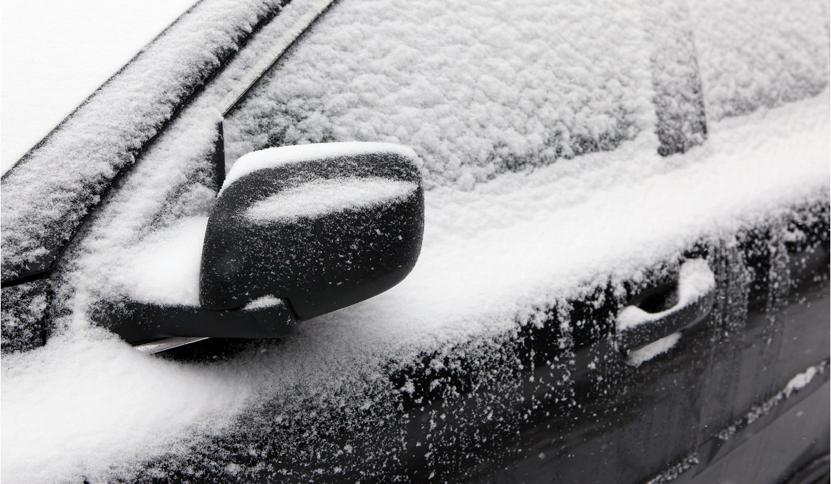
On average, Chicago typically sees its first measurable snow of the year Nov. 18. This year though, it's predicted to come a bit early.
While Monday is expected to be mild and dry, snow showers are expected to begin developing overnight, setting the scene for accumulation to collect Tuesday, potentially affecting morning commuters.
By 5 a.m. Tuesday, the snow is expected to begin, leading to slick and slow driving conditions. Closer to Lake Michigan, those snow showers will mix with rain, the NBC 5 Storm Team says. And while there may be some afternoon lulls, a rain and snow mix is forecast for the Chicago area Tuesday night and into Wednesday.
How Much Snow Accumulation is Expected?
According to NBC 5 Storm Team, up to 1-2 inches total is possible for most of the Chicago area. Those totals could increase farther north and in northwest Indiana, as forecast models predict up to 4 inches in those areas.
According to the NBC 5 Storm Team, temperatures Tuesday are expected to be just above freezing.
Similar conditions are expected into Wednesday and Thursday, with small amounts of accumulation possible.
And from there, things will only get colder.
According to forecast models, temperatures are expected to drop as the week goes on, with highs expected to reach only into the mid-20s by Friday.
Feeling out of the loop? We'll catch you up on the Chicago news you need to know. Sign up for the weekly> Chicago Catch-Up newsletter.
When Does Chicago Typically See its First Snowfall?
According to the National Weather Service, the average date that Chicago typically sees its first measurable snowfall is Nov. 18.
O'Hare International Airport has seen two ends of extremes in recent years, with 2019's first measurable snowfall coming on Oct. 30, the seventh-earliest measurable snowfall in Chicago since 1967.
Read More: Chicago Could See a Snowier Winter Than Normal. See NOAA's New Predictions
Just last year, Chicago saw its latest first measurable snowfall of all-time, according to the National Weather Service. Snow did not fall at O'Hare Airport until Dec. 28, when 1.5 inches of snowfall were recorded.
The earliest snowfall record was set on Oct. 12, 2006, when 0.3 inches of snow fell at O'Hare.
Here's a look at when the city saw its first snowfall over the past 10 years, and how much snow fell:
- 2012: Dec. 20, 0.2 inches
- 2013: Nov. 11, 0.4 inches
- 2014: Oct. 31, 0.1 inches
- 2015: Nov. 20, 4.2 inches
- 2016: Dec. 4, 6.4 inches
- 2017: Nov. 10, 0.1 inches
- 2018: Nov. 9, 1 inch
- 2019: Oct. 30, 1.2 inches
- 2020: Nov. 24, 0.7 inches
- 2021: Dec. 28, 1.5 inches


