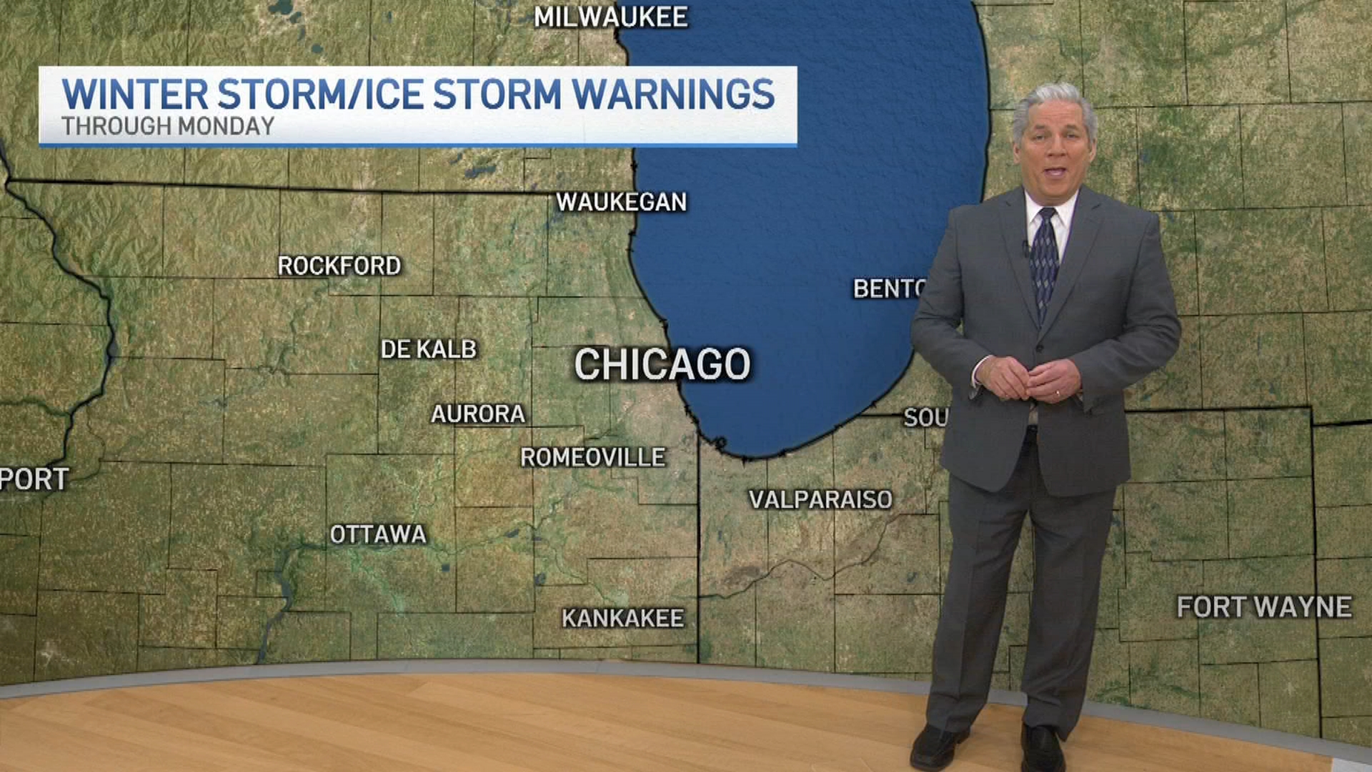
A major winter storm system moving across the Central Plains this weekend is set to dump heavy snow across parts of the Midwest through early next week, the National Weather Service said, with as much as a foot of snow possible in Illinois.
The storm comes as a clipper system is already set to bring up to two inches of snow to parts of the prairie state Thursday.
But there's a catch: The major Midwest snow storm on the way may miss the Chicago area entirely.
"We're on the northern edge of big-time snow totals across Central and Southern Illinois," NBC 5 Meteorologist Kevin Jeanes said Thursday.
Current forecast models show as much as six to eight inches of snow south of I-74, Jeanes said. Further south, six to 12 inches of snow could fall by Monday afternoon, Jeanes said, though the storm track could shift upwards.
"We’ll wait and see if its track shifts farther north, but there are no changes to the forecast right now," Jeanes said.
Northwest Indiana is also expected to see lake effect snow showers Sunday night and into Monday as part of the storm, Jeanes said. Localized accumulations and low visibility will be possible, Jeanes added.
Local
"While it currently looks like the heaviest snow will be across the Ohio River Valley, there is still a lot of uncertainty," the the NWS out of Northwest Indiana said.
We are continuing to monitor winter storm that will impact the Ohio River Valley on Sunday into Monday. The exact track of this storm remains uncertain, and thus confidence is lower in regards to snow amounts and the extent of the impacts. Stay tuned for forecast updates! pic.twitter.com/OK2ZzvC4FF
— NWS Northern Indiana (@NWSIWX) January 2, 2025
Feeling out of the loop? We'll catch you up on the Chicago news you need to know. Sign up for the weekly> Chicago Catch-Up newsletter.
Snow storm forecast, timeline
Forecast models show the winter snow storm is expected to begin moving through Nebraska, Kansas and Missouri overnight Saturday into Sunday, with the storm moving into Illinois early Sunday morning.
By around 4 p.m. Sunday, the snow will continue in Illinois, as well as in Indiana, Ohio and east.
"Most, if not all of this snow, should stay to the south of the Chicago area," Jeanes said.
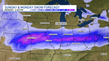
In the southern part of Illinois, as much as a foot of snow could fall near the I-70 corridor, Jeanes said.
"Even around I-74 and south, around six to eight inches of snow possible there," Jeanes added. "We'll keep a close eye on this if this storm does track further to the north."
'Widespread, heavy snow, significant icing possible'
According to the NWS, areas in the Central Plains and Mississippi Valley, especially along and north of Interstate 70, could see heavy snow, with a high chance for at least six inches of snow.
Further south, the NWS warned of "potentially significant sleet and freezing rain" impacting Kansas and the Ozarks.
"It gets tricky with a wintry mix of freezing rain and sleet from I-70 and south, where snow totals may be lower than what the models are showing," Jeanes added.
A winter storm is expected to begin impacting the Central Plains by Saturday night, with heavy snow and significant icing potential spreading eastward to the Mid-Atlantic by early next week. See our latest Key Messages below. ❄️ pic.twitter.com/habFiutQEO
— NWS Weather Prediction Center (@NWSWPC) January 2, 2025
Big blast of winter air
While the major snowstorm could skip the Chicago area entirely, northeastern Illinois won't be able to escape an impending cold spell, set to last weeks.
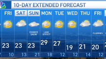
"Thursday may be the warmest day in the Chicago area for at least a couple weeks," Jeanes said, with highs in the low 30s expected.
The blast of Arctic air will bring plummeting temperatures to the area, with highs in the 20s starting Friday. Even lower wind chills were expected, with temperatures feeling like the teens or single digits.
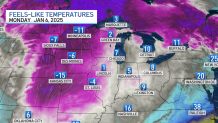
“We’re going to be stuck in a cooler pattern,” Zachary Yack, a National Weather Service meteorologist based in Chicago told NBC News. “It will definitely go into the middle and early part of next week.”
By next week, nearly every morning in the Chicago area will have either below zero or single-digit wind chills, Jeanes said. The NBC 5 Storm Team's extended weather forecast showed 20-degree temperatures lasting through the second weekend of January.
“The jet stream is going to be centered across the central and southern part of the United States," Yack said. "There isn’t anything that’s going to be moving it back."
