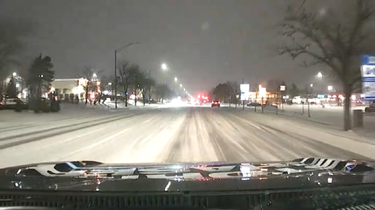
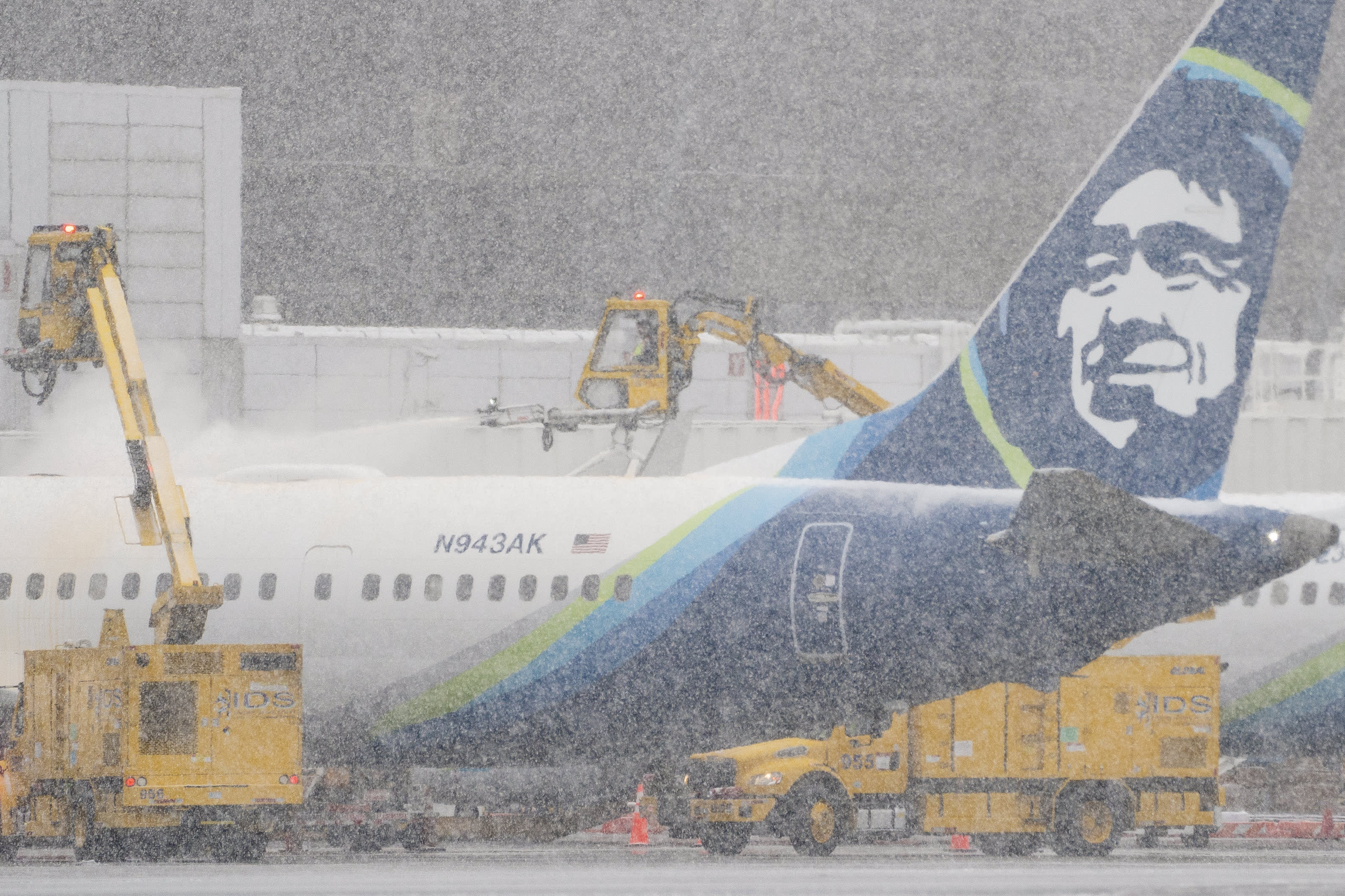
With a dangerous winter storm beginning to make its way through the Chicago area, authorities have cautioned commuters against traveling, stating that Illinois road conditions will "rapidly" deteriorate as the storm moves through.
If you're looking to check on the road conditions during all the commotion, you can do so through maps and reports, traveler information and more using a tool from the Illinois Department of Transportation called "Getting Around Illinois."
The tool allows you to look up current Illinois road conditions in a number of ways:
A winter storm warning is in effect throughout the entire Chicago area. It began at 9 a.m. Thursday in McHenry, DeKalb, Kane, LaSalle, Kendall and Grundy counties, according to the National Weather Service. The warning took effect in Lake, DuPage, Kankakee, Cook and Will counties in Illinois at noon and will begin in Lake, Newton and Jasper counties in northwest Indiana starting at 3 p.m.
It will remain in effect across the area until 6 a.m. Saturday.
The storm may bring heavy blowing snow, winds gusting up to 55 mph and wind chills low enough to cause frostbite, with the National Weather Service stressing that road conditions are expected to be "life threatening." The service added that "falling and blowing snow may result in white-out conditions with zero visibility at times, making travel extremely difficult, if not impossible."
Blizzard conditions are possible Thursday afternoon and into Friday morning, according to the National Weather Service, with "brutal" travel conditions anticipated.
Feeling out of the loop? We'll catch you up on the Chicago news you need to know. Sign up for the weekly> Chicago Catch-Up newsletter.


