
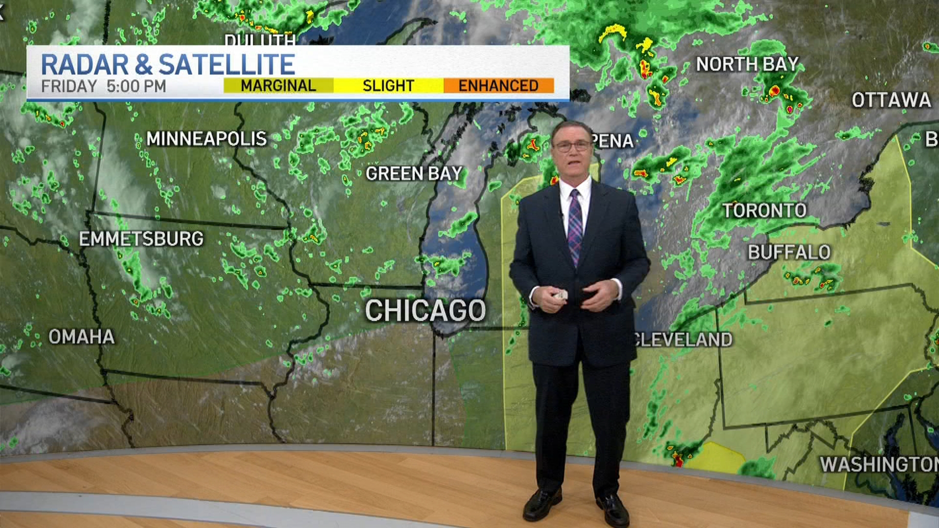
The Chicago area isn't in the clear yet, with yet another round of snow expected Friday night as a winter storm pummels the region.
But once the snow moves out, the attention will focus to the extreme cold and bone-chilling temperatures. The region could see the coldest air of the season -- or perhaps the last five years, according to NBC 5 Storm Team Meteorologist Kevin Jeanes.
Extremely cold air will move in beginning Saturday, so you'll want to make sure any shoveling is finished before then.
Dangerous wind chill values are expected starting in the evening hours as temperatures plummet by around 20 degrees. Windy conditions and cold temperatures will lead to wind chill values between 15 and 30 degrees below zero, meteorologists said.
Such conditions will persist for several days and won't let up until sometime next week, according to the National Weather Service.
The most frigid values of around negative 30 degrees will arrive Saturday night and return at various points, including the daytime hours on Sunday, Monday night and Tuesday. The National Weather Service, in a post on the social media platform X, urged residents to remember to bundle up, explaining wind chills can result in frostbite on exposed skin in as little as 15 to 30 minutes.
Weather
The dangerous cold will bring another concern: the possibility of ice jams.
Ice is expected to rapidly form on almost all Chicago-area rivers by early next week, leading to potential ice jams, according to the NWS. Ice jams can lead to water level fluctuations and a significant rise in water with little warning.
Feeling out of the loop? We'll catch you up on the Chicago news you need to know. Sign up for the weekly Chicago Catch-Up newsletter here.
Come Wednesday, a warm-up of sorts will arrive, though it won't be anything like the unseasonable temperatures experienced in recent weeks. Temperatures will climb into the double digits, with a high of around 18 degrees expected during the day.
Snow could make a return soon after that, with multiple chances beginning Wednesday night and continuing through Thursday. By then, feels-like temperatures will hover just below 20 degrees.
