


On Monday night, multiple tornados were confirmed around Illinois and in the Chicagoland area. NBC Chicago meteorologist Kevin Jeans talked about the historic weather residents saw
UPDATE: See the latest on what we know from these storms here.
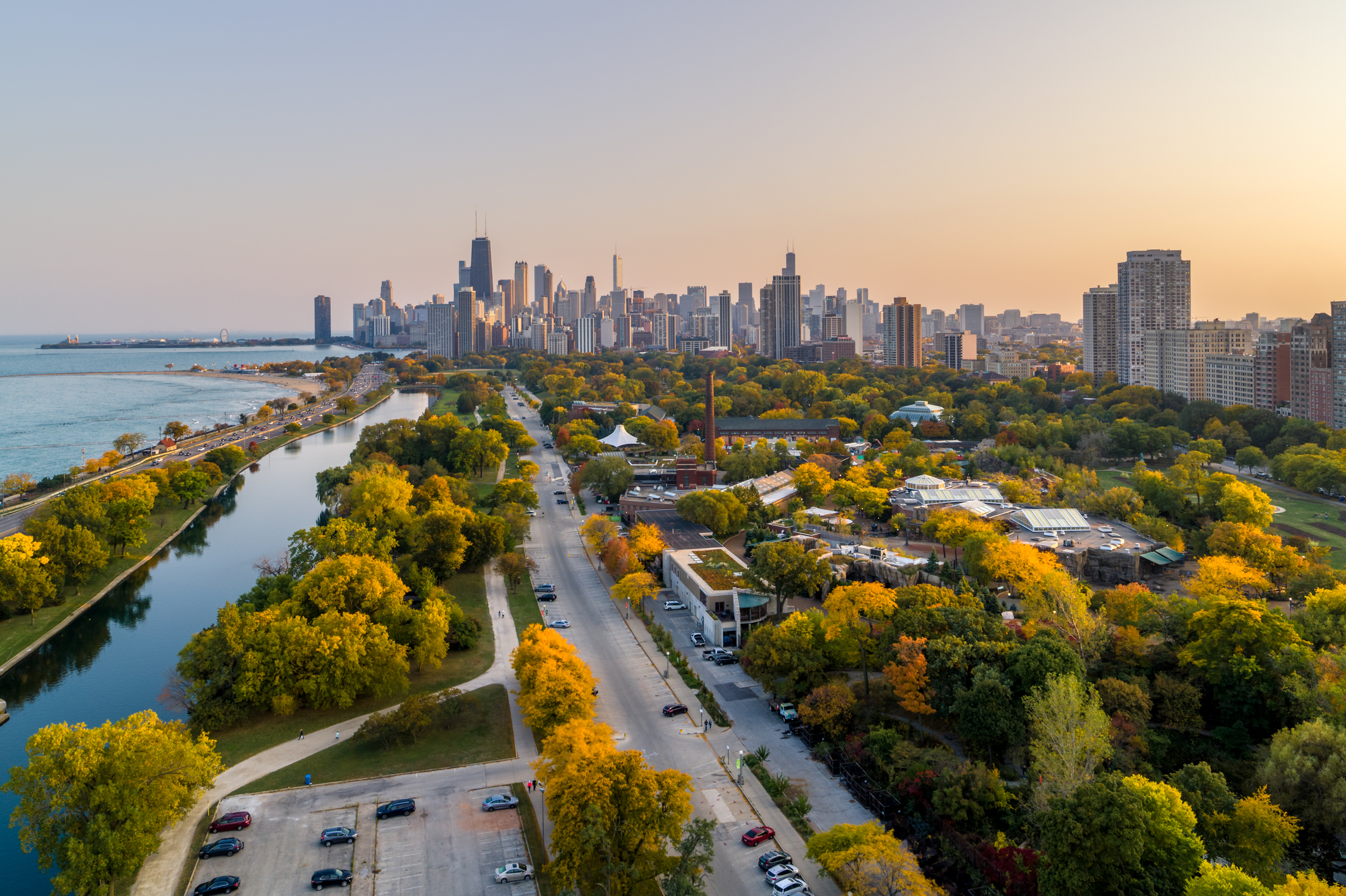
The Chicago area has been upgraded to a moderate risk of severe weather Monday as the threat for damaging storms heightens in the lead-up to the system's arrival, sparking watches and warnings across the region.
Just before 7 p.m., the entire area was placed under a tornado watch, effective until 1 a.m. CT.
Storms moving into parts of the region were reported to be "capable of hail up to golf ball size and 60 mph winds."
The moderate risk is a level four out of five. Previously, the region had been under an "enhanced" risk, or a level three out of five.
"Severe thunderstorms are expected through this evening across portions of the Midwest, central High Plains, lower Great Lakes, and Arizona. The greatest potential for severe gusts is over eastern Iowa into Illinois and Indiana," the National Weather Service's Storm Prediction Center said in its update.
Wind speeds of up to 85 mph are possible, with widespread gusts in excess of 60 miles per hour in the forecast.
Local


The NWS said strong to severe thunderstorms are expected to move into the area late Monday afternoon and continue into the evening.
Feeling out of the loop? We'll catch you up on the Chicago news you need to know. Sign up for the weekly Chicago Catch-Up newsletter.
"Damaging winds are expected to be the primary severe hazard, though isolated large hail and a few tornadoes will also be possible," the NWS said in an alert. "Torrential downpours may produce flash flooding."
"Tornadoes are likely along and near the apex of the developing bow," it added.
Much of Monday was expected to be dry, NBC 5 Meteorologist Alicia Roman said, with storm chances increasing as the afternoon and evening go on. By around 4 p.m., storms were expected to roll into far western Illinois, reaching Chicago area western counties between 6 and 8 p.m.
"The storms could certainly pack a punch, just like we saw last night," Roman said.
Between 7 p.m. and 9 p.m. strong-to-severe storms were expected in Chicago, and most into northwest Indiana by 10 p.m.
They were expected to dissipate overnight, Roman said, coming to an end around 1 a.m. or 2 a.m.
A heat advisory was also in effect Monday, with "dangerous" heat and humidity levels expected, especially in counites to the west and southwest where the highest "feels-like" temperatures could reach between 105 and 100 degrees.
"Hot temperatures and high humidity may cause heat illnesses to occur," an alert from the National Weather Service said. "Drink plenty of fluids, stay in an air-conditioned room, stay out of the sun, and check up on relatives and neighbors."
According to Roman, dewpoints Monday were expected to be between 70 and 75 degrees.
"A very tropical airmass in place today," Roman said.
According to the NWS, the advisory was scheduled to expire at 7 p.m. Monday.
Chicago's Office of Emergency Management and Communications Monday issued an advisory encouraging residents to be prepared to the heat, with multiple cooling centers opening beginning at 9 a.m.
A full forecast for the Chicago area this week can be found here.

