
Alicia Roman has the latest forecast.
While spring officially started at 4:01 a.m. Thursday in the Chicago area, winter isn't giving up without a fight as a wind advisory and a winter weather advisory with snowy, blustery conditions continues for most parts through 7 a.m.
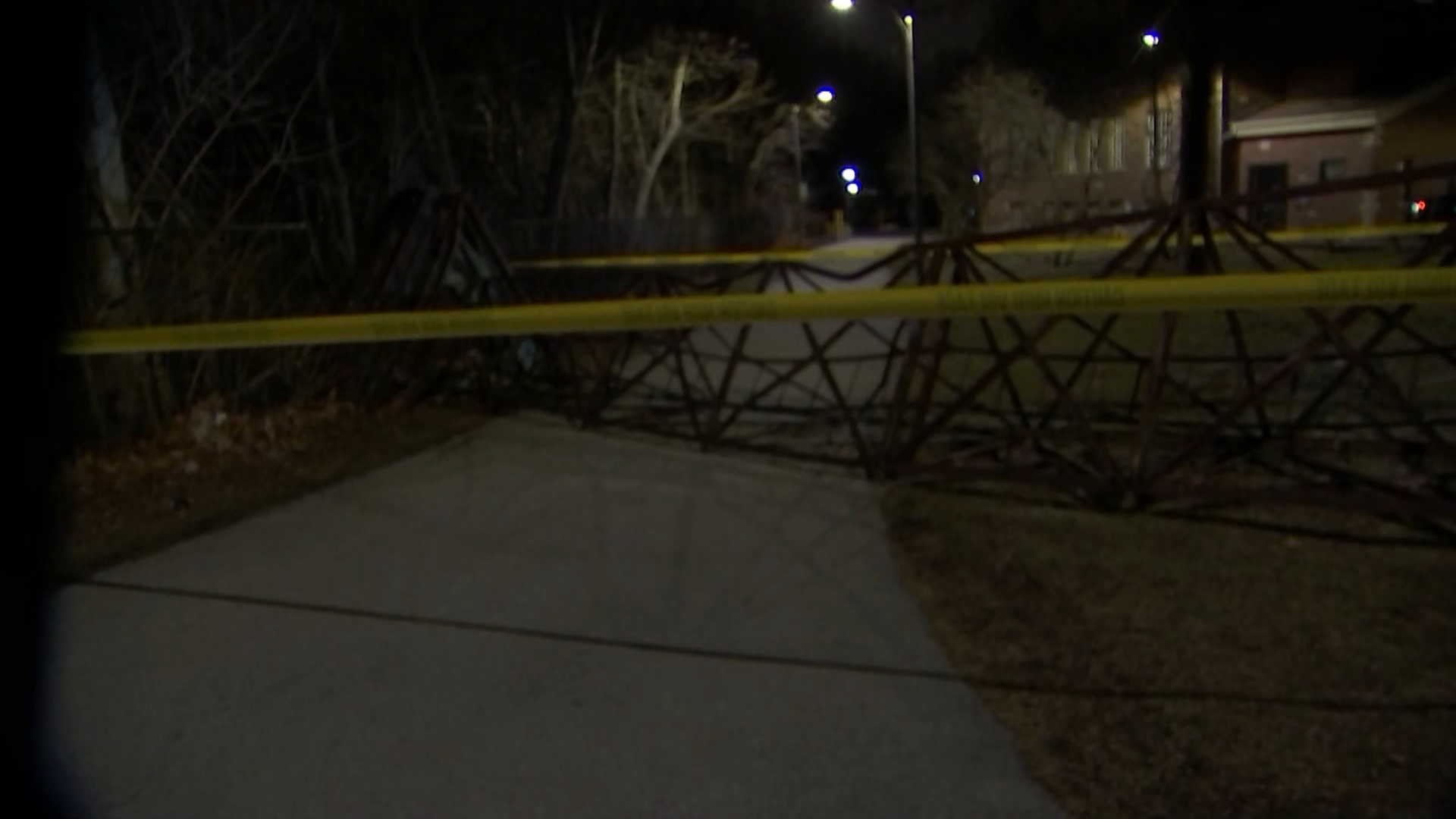
The snow comes hours after severe weather ripped across parts of northeast Illinois and northwest Indiana, with powerful winds, tornado warnings and "gustnadoes" leaving behind downed trees and heavy damage to some structures.
In Gary, Indiana, an EF-1 tornado knocked out power and damaged McCullough Academy, leading administrators to cancel classes Thursday and Friday after the roof of the gymnasium nearly tore off.
According to the National Weather Service, snowy conditions were expected to last through some of the morning commute, with low visibility due to winds gusting as high as 45 miles per hour.
"Plan on slippery conditions," the NWS warned. "The hazardous conditions could impact the Thursday morning commute."
NBC 5 Traffic Reporter Kye Martin noted drivers should expect to see slide-offs and spinouts on roads as the dicey driving conditions continued.
As of 5:30 a.m., snow was widespread across the Chicago area, with heavier bands moving across Lake, Kane and Kankakee Counties, NBC 5 Storm Team Meteorologist Alicia Roman said, with visibility under a mile for some.
Weather
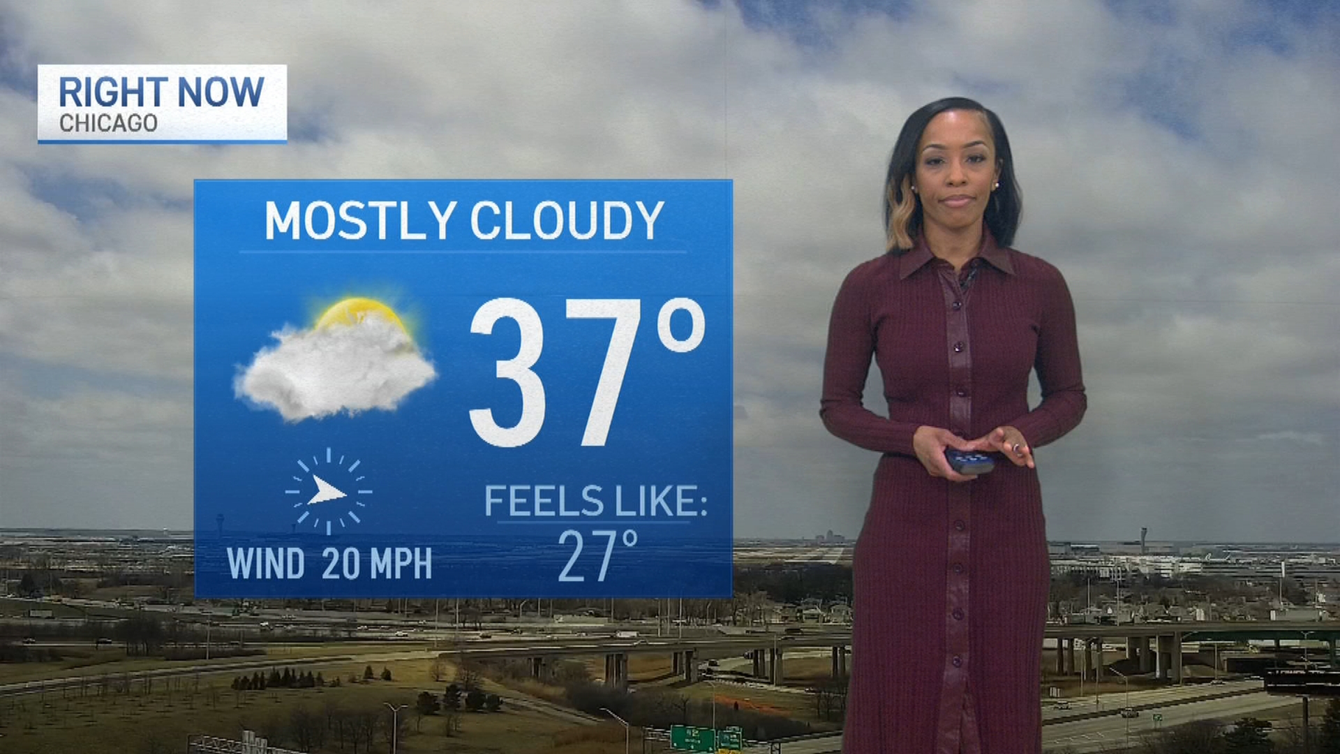
"We've already seen more snow this month than we did the entire month of December," Roman said.
Feeling out of the loop? We'll catch you up on the Chicago news you need to know. Sign up for the weekly Chicago Catch-Up newsletter.
The snow was expected to begin moving out of the area between 7 a.m. and 9 a.m., the NBC 5 Storm Team said, with more sunshine moving in by afternoon. Temperatures were expected to say on the cooler side, with highs in the 40s, but cooler along the lakefront.
Friday looks to stay dry with temperatures warming back into the 50s, Roman added, though a weak system Friday night into early Saturday could bring a few spotty showers.