
The worst of the snowfall may be behind the Chicago area on this round of winter storms, but the true feeling of the season is just hours away as a blast of arctic air prepares to envelop the area.
The bitter cold start to the weekend follows a hectic Friday that saw commutes impacted as several inches of snow were dumped across the Chicago area across two rounds of precipitation.
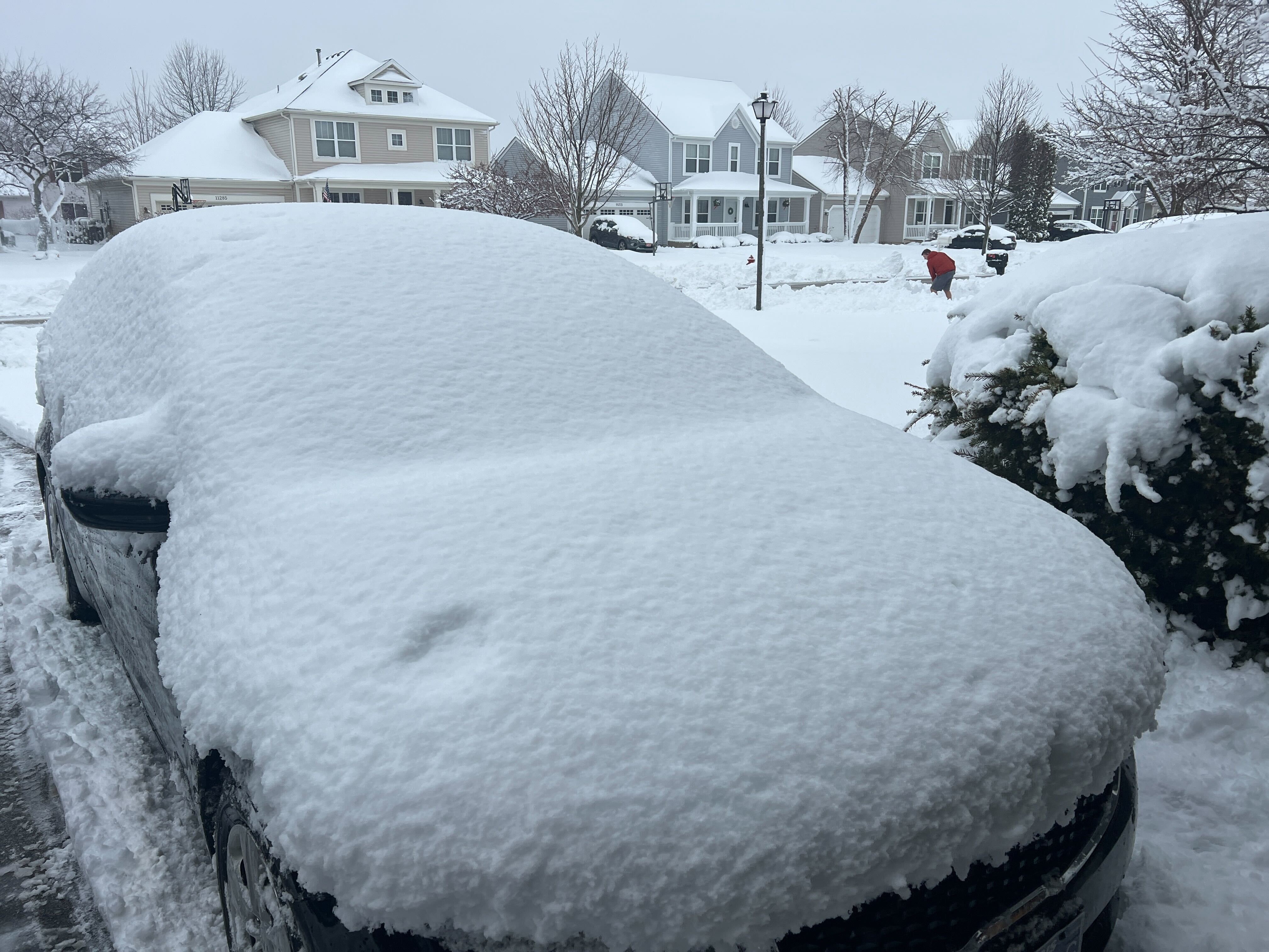
Residents across the area are waking up to no more winter storm warnings after Chicagoans were advised to prepare for "near-blizzard conditions" as a snowstorm thrashing the Midwest threatened the region with intense wind gusts, blowing snow and reduced visibility.
Winter weather advisories across the area will continue until noon on Saturday, with wind chill advisories taking effect at 12 a.m. Sunday.


While snow is still falling in small amounts on Saturday morning, concerns across the area will shift to gusts over 30 miles per hour, which may lead to blowing snow. Icy conditions are also likely as temperatures drop.
Temperatures will be in the 20s to begin Saturday and will fall throughout the day, with wind chill values even lower.

Feeling out of the loop? We'll catch you up on the Chicago news you need to know. Sign up for the weekly Chicago Catch-Up newsletter.
Saturday's cold follows an earlier round of snow that brought more than 6 inches to some locations and led to major travel issues and tens of thousands of power outages across the region. The bulk of the snowfall began to subside later Friday morning, with some locations seeing a transition from snow to rain before a brief lull.


Brutally cold temperatures will persist for several days and won't let up until the middle of next week. The National Weather Service has urged residents to bundle up, explaining wind chills can result in frostbite on exposed skin in as little as 15 to 30 minutes.
Come Wednesday, temperatures will climb into the double digits, with a high of around 18 degrees expected during the daytime.