
Chicago just had its warmest September in 64 years, but Chicagoans know how quickly the weather can change.
The National Oceanic and Atmospheric Administration's official winter outlook won’t be released until Oct. 17, but already, there have been signs it could be a colder and wetter winter. Of course, there are plenty of caveats when it comes to such long-term forecasts.
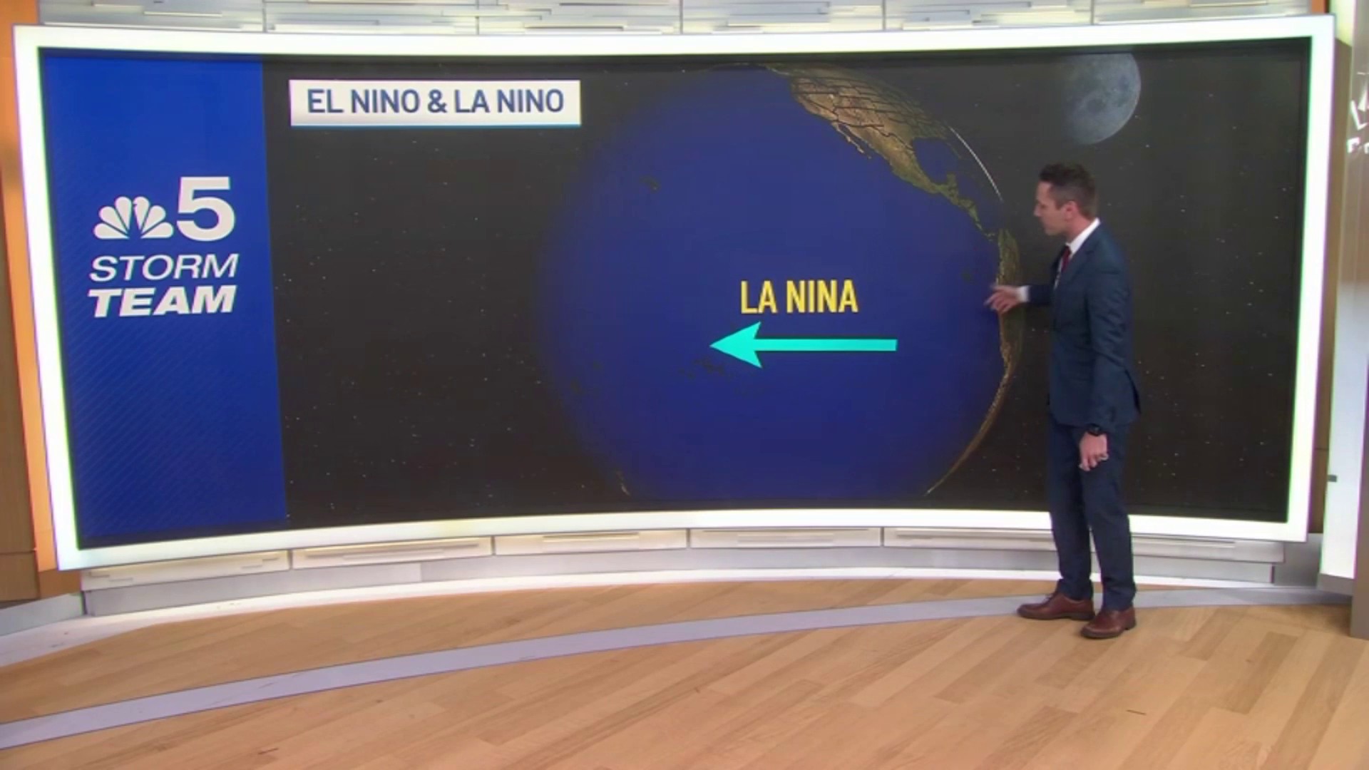
Currently a “La Niña Watch" is in effect.
There is a 71% chance of a La Niña winter in the months of December through February, but the strength of La Niña is still in question.

The sea surface temperatures in the equatorial Pacific are cooling, but it’s a question of how cool they will get. The latest data implies that we are more likely to see a weak La Niña versus a strong one.
Typically, a La Niña winter places the jet stream in a position to bring overall colder and sometimes snowier patterns during the winter months to the Midwest. The correlation to La Niña and a colder winter in Chicago is greater during a strong La Niña season, but significantly less during a weak La Niña season.
Weather

Last year saw the strongest El Niño winter since 2015 and it ended up being the 5th warmest winter on record in Chicago.
It’s still too early to tell if this will, in fact, be a very cold winter. Keep in mind the past few winters have been very mild in Chicago, so even an “average” winter is going to feel colder than recent years.
Feeling out of the loop? We'll catch you up on the Chicago news you need to know. Sign up for the weekly Chicago Catch-Up newsletter.
What is El Niño, La Niña, and ENSO?
ENSO stands for El Niño Southern Oscillation, and the ENSO pattern alternates between El Niño, La Niña, and ENSO-neutral. ENSO-neutral conditions mean neither El Niño or La Niña patterns are present.
Typically, each El Niño or La Niña pattern can last for one or two years.
El Niño emerges when the trade winds near the equator in the Pacific Ocean are out of the west. This carries in warm water across the surface of the Pacific Ocean.
A La Niña pattern emerges when the winds shift out of the east. An easterly wind coming off the coast of South America causes upwelling of deep, cool ocean waters to rise to the surface and drift westward.
These alternating patterns ultimately impact the position of the jet stream, and can have global impacts on weather patterns.
NOAA will release its monthly update on our emerging La Niña on Oct. 10.