A live radar image will appear in the player above. Use the live interactive radar below to track what's happening in your area. Our latest weather story can be found here.
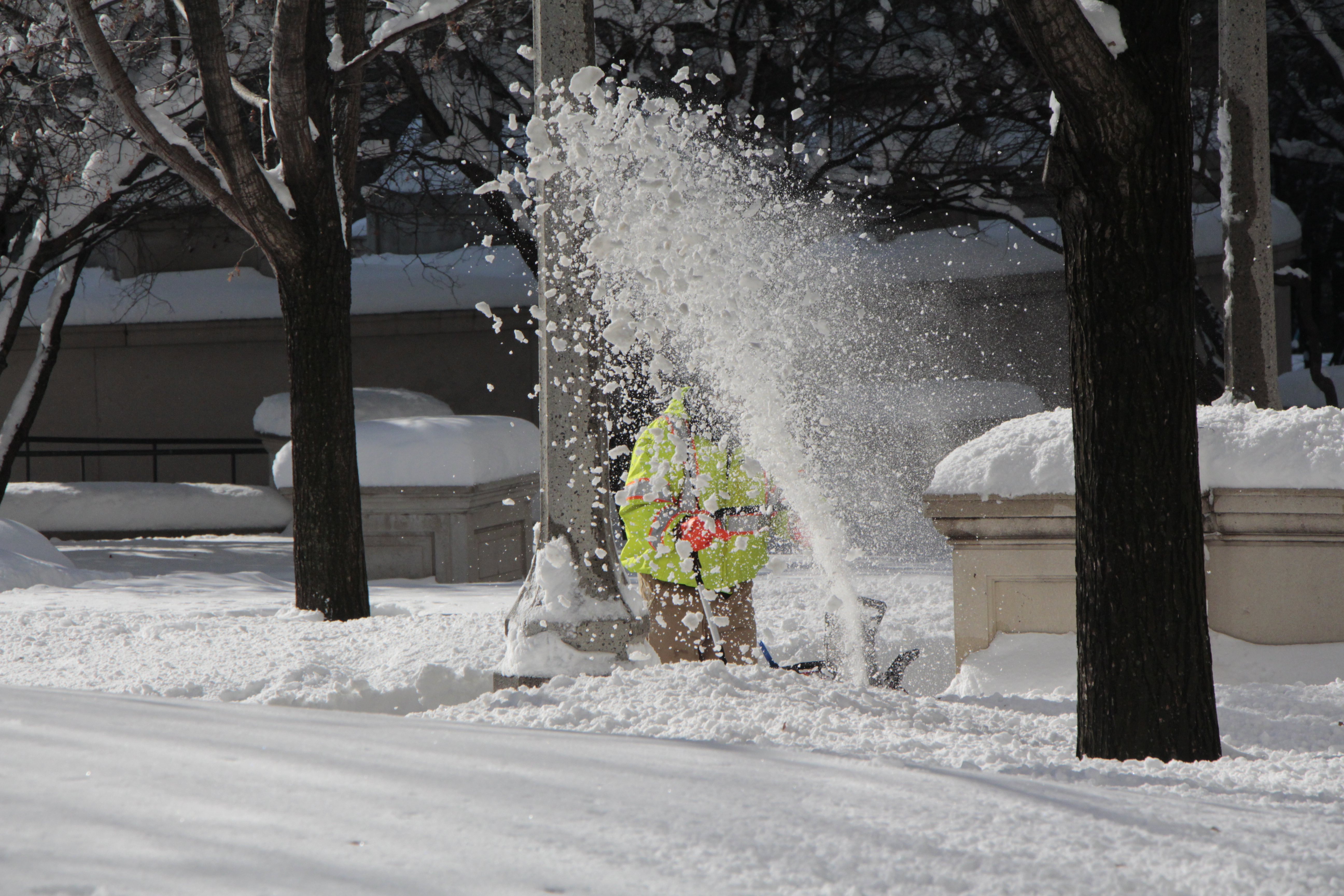
The biggest winter storm of the winter season so far is set to hit the Chicago area Wednesday, bringing several inches of snow to much of the region.
A winter weather advisory takes effect at 9 a.m. across the Chicago area and northwest Indiana, the National Weather Service said. The advisory is not set to expire until 3 a.m. Thursday.
CHECK THE LATEST WEATHER ALERTS HERE
Track the snow as it moves into your area live in your area using NBC 5's live interactive radar.
With up to an inch of snow per hour expected at times, hazardous travel conditions are anticipated.
"If you don’t have the flexibility to stay home later today, plan ahead for much longer travel times," the NWS warned.
Check the Illinois road conditions near you:
Feeling out of the loop? We'll catch you up on the Chicago news you need to know. Sign up for the weekly Chicago Catch-Up newsletter.
Already dozens of schools were closed across the area.
On average, the majority of the Chicago area can expect to see between four and five inches of snow, NBC 5 Meteorologist Kevin Jeanes said.
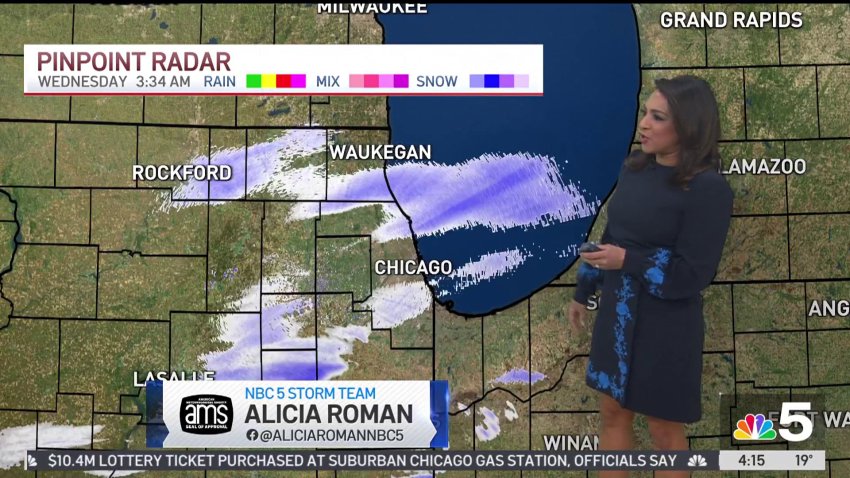
South of I-80, where temperatures will be warmer, between two and four inches of snow was possible, along with a wintry mix and freezing rain.