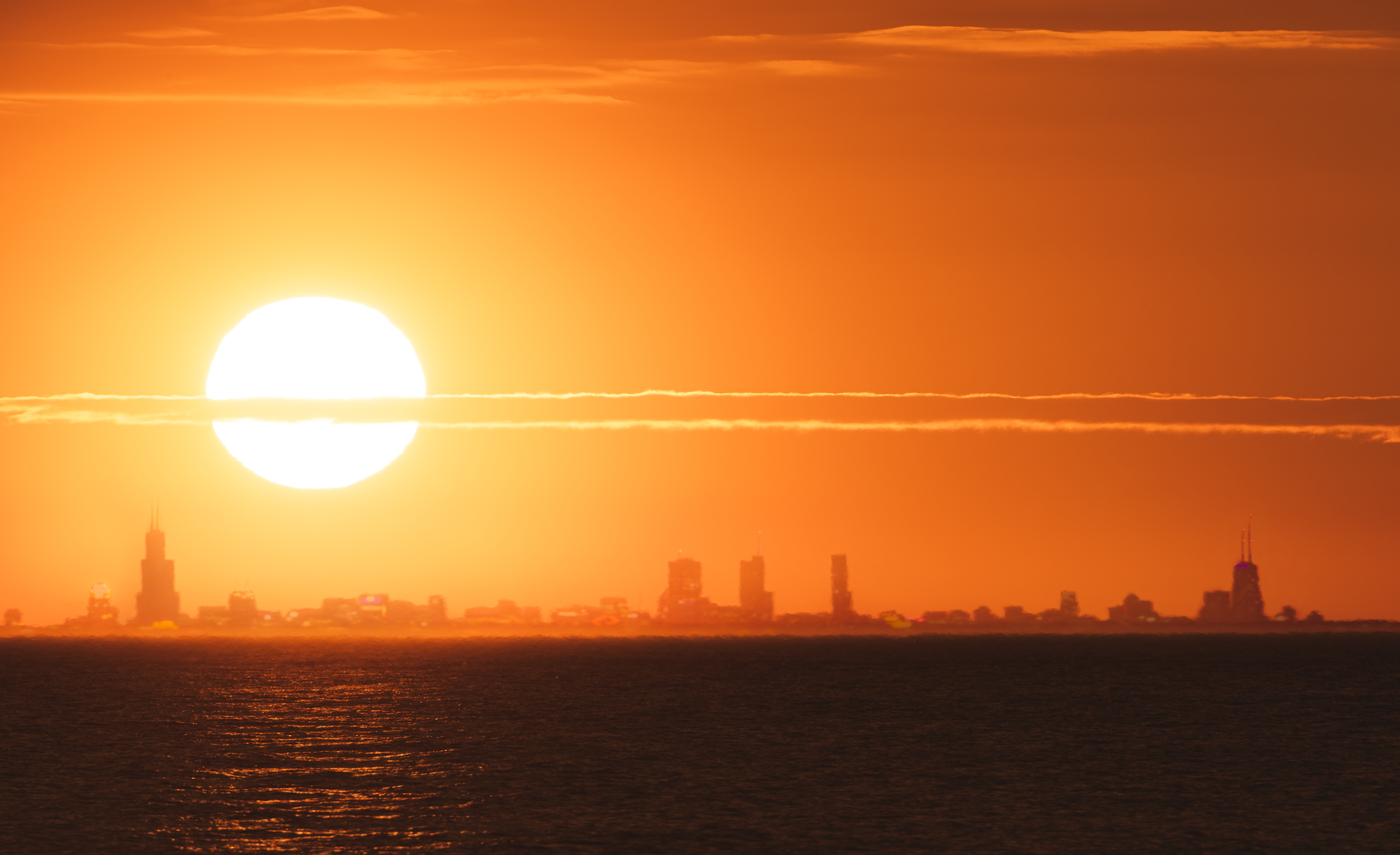
As much of the Chicago area braces for heat warnings to take effect, just how hot will it get across the region and where will the potentially record-breaking temperatures be seen?
According to the NBC 5 Storm, the peak temperatures are expected to arrive sometime between 1 p.m. and 4 p.m. Wednesday.
An excessive heat warning takes effect at 11 a.m. Wednesday in McHenry, Lake, DeKalb, Kane, DuPage, Kendall, Grundy, Kankakee, Cook and Will counties. The warning continues until 9 p.m., then an excessive heat watch begins Wednesday evening and continues through Thursday evening.
The alerts warn of "dangerously hot conditions with heat index values of 110 to 115 expected with locally higher values possible."
Temperatures Wednesday are expected to hit 98 degrees, potentially breaking a record of 97 degrees for that day set in 1947, the NBC 5 Storm Team said. Additionally, "dangerously hot conditions with heat index values of 110 to 115 degrees are expected," the NWS said.
Here is a map of air temperatures projected at 4 p.m. Wednesday across the Chicago area and what it could feel like at the same time:


Air temperatures could remain in the high 90s once again Thursday. According to the NWS, heat indices Thursday look to remain between 105 degrees and 110 degrees.
According to the NBC 5 Storm Team, some forecast models show thunderstorms could develop late Thursday into Friday, potentially disrupting the heat and keeping temperatures down.
Feeling out of the loop? We'll catch you up on the Chicago news you need to know. Sign up for the weekly Chicago Catch-Up newsletter.
The good news is the heat isn't expected to last long, as a cold front is expected to move in late Thursday night, bringing some relief by Friday.