Editor's Note: The severe weather risk for the Chicago area Wednesday has been upgraded to "slight." Hundreds of flights at O'Hare airport have been canceled, and the latest information on storm timing can be found here. You can track the storms near you using our live weather radar here. Our updated story continues below.
You're in for a wet and stormy weather day Wednesday, Chicago.
Following flashes of lightning and heavy downpours in some parts of the area overnight and into Wednesday morning, the entire Chicagoland area can expect more scattered showers along with periods of heavy rain and the potential for severe thunderstorms from "morning to afternoon," the NBC 5 Storm Team says.
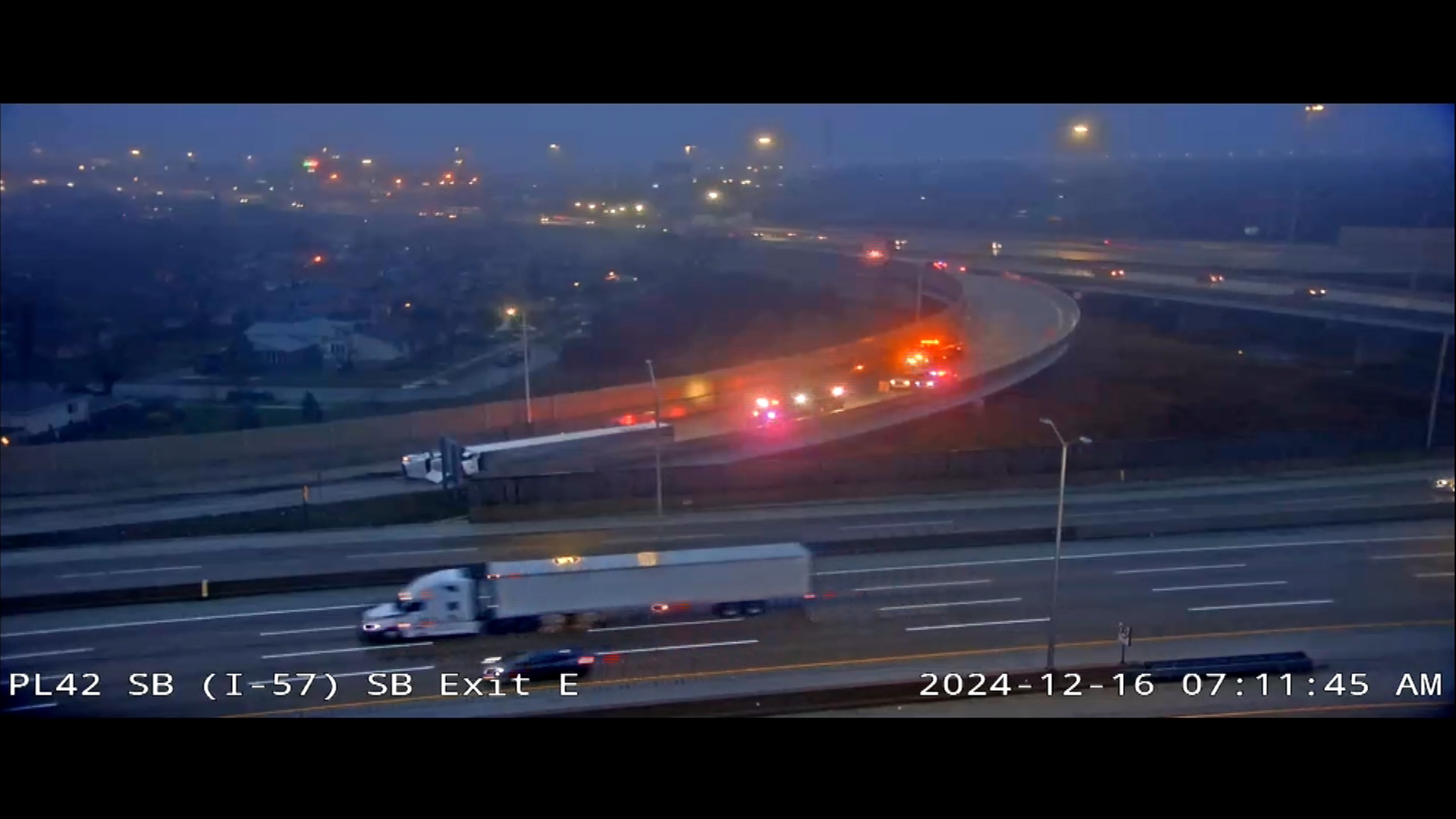
Additionally, standing water from overnight and early morning rain could snarl the Wednesday morning commute in some counties. NBC 5 Traffic reporter Kye Martin reports that several morning crashes have already occurred in areas with high standing water, including in Orland Park, Orland Hills and Tinley Park.
Here's a breakdown of what weather to expect and when as part of Wednesday's forecast.
Flooding Watches and Advisories
DuPage, Cook and Will Counties in Illinois, along with Lake County in Indiana are all under a flood watch until 7 p.m. Wednesday.
Local
"Flash flooding caused by excessive rainfall is possible," an alert from the NWS said. "Creeks and streams may rise out of their banks. Flooding may occur in poor drainage and urban areas. Underpasses may be flooded."
According to the Metropolitan Water Reclamation District of Greater Chicago, an “overflow action alert” was issued for the region Tuesday, ahead of the strong-to-severe storms expected to arrive.
Feeling out of the loop? We'll catch you up on the Chicago news you need to know. Sign up for the weekly> Chicago Catch-Up newsletter.
MORE: Pritzker issues disaster proclamation for Cook County after severe flooding
Those alerts are issued when flooding is possible and when officials are seeking to limit the amount of water entering storm drains and sewers in the area.
Residents are being asked to delay showers and baths at this time, to wait to run any dishwashers or washing machines, and to flush toilets less frequently in their homes to help alleviate high water levels.
According to the NWS, 'Torrential rainfall' may cause roads to flood, with the "highest flood threat in the Chicago metro area."
Heavy rain expected
The NBC 5 Storm Team reports that between one and three inches of rain has already fallen in some parts, with between one and two more inches on the way. However, thunderstorms could produce additional quick rainfall, Roman added.
"The main threat will be heavy rain that will lead to localized flooding," Roman said of Wednesday's weather.
According to the NBC 5 Storm Team, although scattered showers are expected throughout the morning, much of the heavy rainfall and severe storm potential is expected between 12 p.m. and 7 p.m. By 9 p.m., a few lingering showers may remain in the area, the NBC 5 Storm Team adds.
Temperatures Wednesday are expected to remain on the cooler side, with highs in the low 70s to low 80s.
Severe weather risk
The Storm Prediction Center reports that much of the Chicago area this afternoon has been upgraded to a "slight" risk of severe weather and thunderstorms, which ranks as level two on a five-level scale.
Earlier, the area was at a "marginal" risk, which ranks at level one on the scale.
According to the NWS, in addition to heavy downpours and threats of flash flooding, the storms could bring damaging winds up to 60 miles per hour and quarter-sized hail. Additionally, while a tornado risk remains low, it cannot be ruled out, the NWS says.


