
After weekend downpours brought record flooding to the Chicago area, another round of storms could bring the potential for severe weather this week.
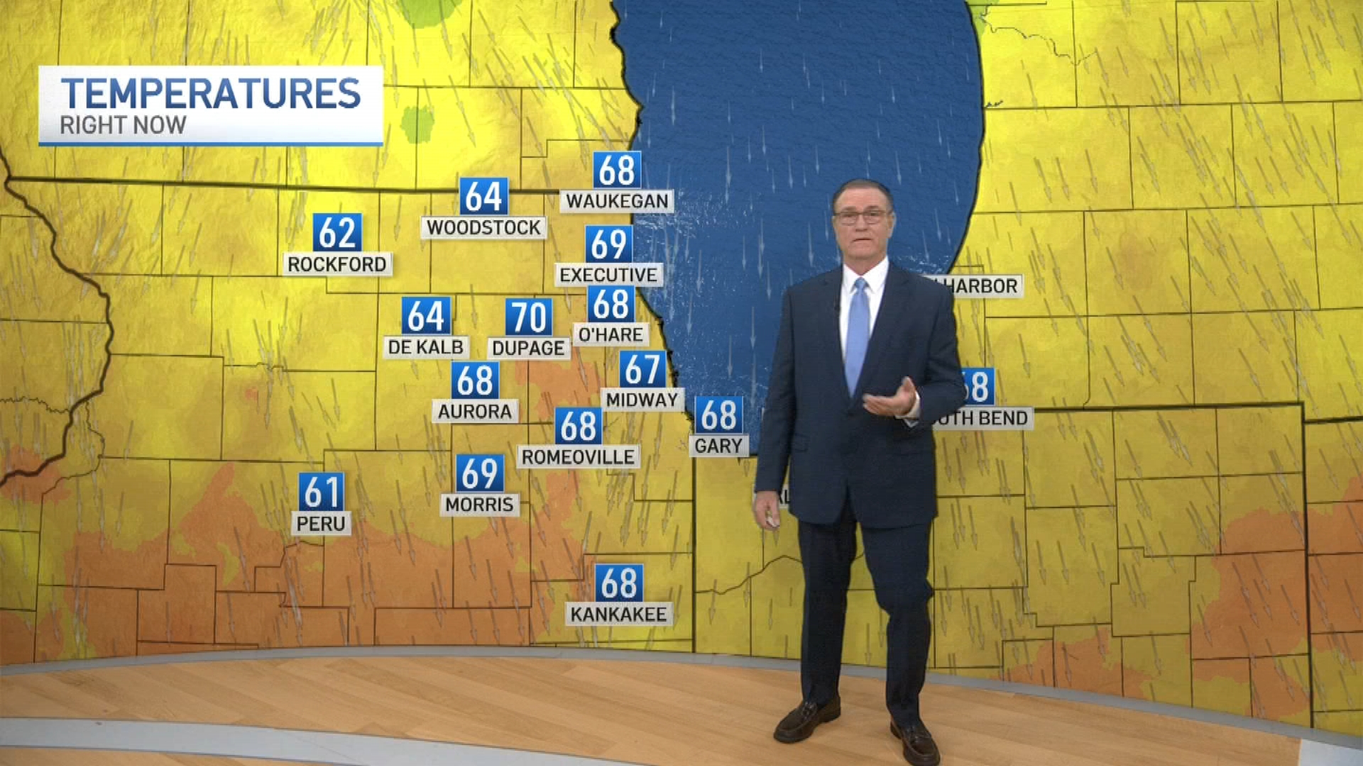
While the Fourth of July holiday started off mostly dry and hot, there is a potential for isolated storms heading into the afternoon and evening. Much of the Chicago area is under an elevated risk for thunderstorms, with the potential for lightning, heavy rain and gusty winds between 1 p.m. and 6 p.m., according to the National Weather Service.
These storms are not expected to be severe, but could bring with them cloud-to-ground lightning, brief downpours and wind gusts "strong enough to blow around light objects."
Any storms that do develop are expected to dissipate quickly during the evening hours as conditions cool.
There's still a bigger threat on the horizon, however, according to the NBC 5 Storm Team.
A cold front is moving toward the area, which could bring severe weather Wednesday and into Thursday.
Weather

There is a slight risk for severe conditions across the region as storms look to develop in the afternoon and evening hours Wednesday, with damaging wind gusts and large hail among the main threats. Heavy rain is also expected.
The situation is still developing, so timing and strength could change in the hours ahead of the storms.
Feeling out of the loop? We'll catch you up on the Chicago news you need to know. Sign up for the weekly Chicago Catch-Up newsletter.
The chance for storms continues into Thursday morning, particularly for areas east of the I-55 corridor in Illinois and northwest Indiana, with conditions clearing in the afternoon.
Temperatures are expected to sit in the upper 80s Wednesday before the cold front brings temps down into the upper 70s for Thursday and Friday.