
Strong-to-severe storms could hits parts of the Chicago area Monday afternoon and evening, marking the start of an active weather week that brings with it multiple chances for rain and storms.
According to NBC 5 Storm Team Meteorologist Alicia Roman, Monday will start out warm and dry, with high temperatures rising into the 80s, but the chance for scattered storms will move in during the early afternoon.
The threat for storms first moves in around 1 p.m., but will heighten after 3 p.m., Roman and the National Weather Service reported.
"That's when we really see those scattered showers and storms," Roman said. "So when we say scattered, it doesn't mean everywhere so not everybody will see those storms later today. And most areas may actually stay dry with partly sunny skies and warm temperatures."
The biggest threats with the storms, Roman said, are gusty winds of up to 60 mph and heavy downpours that could lead to localized flooding.
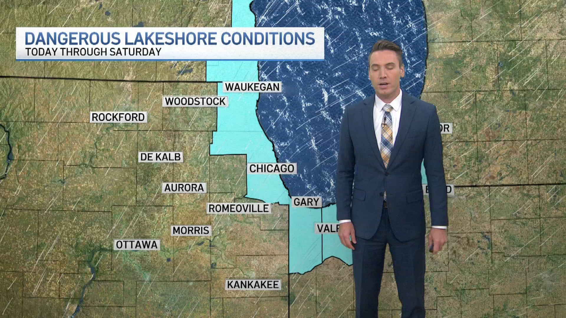
The National Weather Service Storm Prediction Center has much of the Chicago area under a "marginal" risk for severe weather, or a level one out five, but a small portion of northern Illinois remains under a "slight" risk, a level two out of five.
According to the NWS, northern and northwestern suburbs, including DeKalb, Elgin, Waukegan and more, are expected to see higher risks.
Weather
The storms are expected to largely be out of the Chicago area after 7 p.m., though some could continue through the evening and overnight hours. Those storms are not expected to be severe, however.
Feeling out of the loop? We'll catch you up on the Chicago news you need to know. Sign up for the weekly Chicago Catch-Up newsletter.
"That variety will not be on the severe side, that may just have a few storms that have some heavy downpours associated with it," Roman said.
After Monday, another chance for showers and storms moves in again Tuesday afternoon and evening, which could continue into Wednesday morning.
"So the next couple of days we do have some active weather chances for showers and storms but also warm temperatures," Roman said.
Highs are expected to stay in the 80s through Wednesday before things start to cool back down into the 70s for the end of the work week.