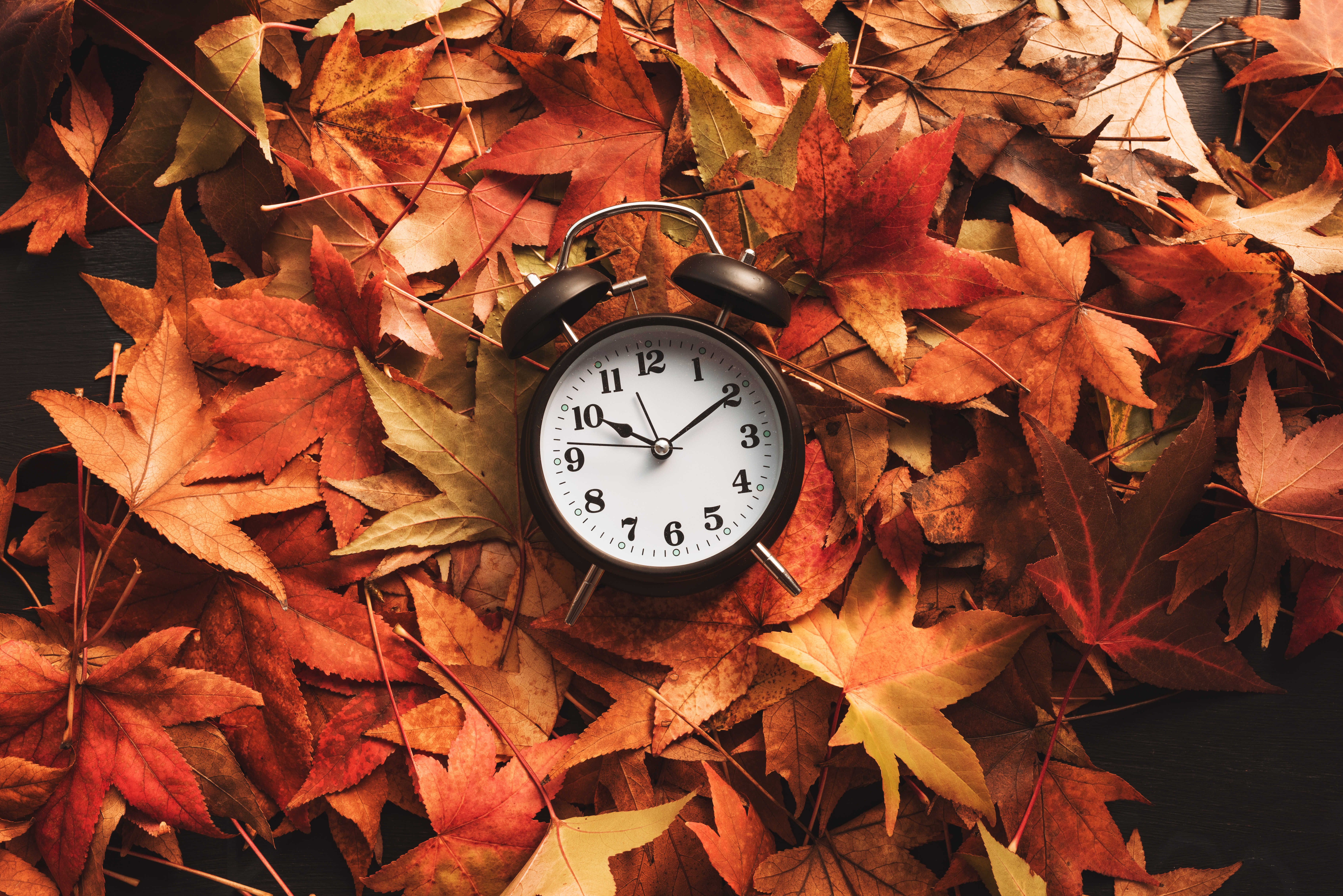
It may feel like fall this weekend, but we’re far from being done with warm weather in Chicago.
Even as we’re losing nearly three minutes of daylight every day, we’ll have a long stretch of highs in the 80s next week.
So when should we prepare for the real “fall feel”?
NBC 5 Storm Team Meteorologist Kevin Jeanes looked back at the last 10 years to see when we had the first stretch of three days or more of chilly days, 61 degrees or colder.
The stretch of sweater weather began on the dates below:
2023: Oct. 7
2022: Oct. 13
2021: Oct. 22
2020: Oct. 1
2019: Oct. 12
Feeling out of the loop? We'll catch you up on the Chicago news you need to know. Sign up for the weekly Chicago Catch-Up newsletter.
2018: Sept. 28
2017: Oct. 23
2016: Oct. 20
2015: Sept. 30
2014: Sept. 11
10-YEAR AVERAGE: Oct. 11
Even in years when we’ve had an early cold-snap in September, highs can still reach 80 degrees again in October.
In fact our final 80-degree day of the year averages out to Oct. 5.
Average last 80-degree day: Oct. 5
Average last 75-degree day: Oct. 17
Average last 70-degree day: Oct. 29
The next question (or maybe the first question) is when do we brace for the first snow?
The first snowfall has been all over the place, especially in recent years. Last year was Chicago’s warmest winter in 92 years, but it still snowed on Halloween.
The 30-year average for our first measurable snow (0.1” or greater) is Nov. 18; however, last year’s was Oct. 31, and in 2021 it was Dec. 28 - another indicator of how unpredictable it is in the long-term.
It’s worth noting that while ENSO neutral conditions are present in the Pacific now, meaning they favor neither El Niño or La Niña, La Niña has a 74% of being present this November to January. Depending on its strength, that could bring a wetter and colder winter for Chicago.
No need to panic, we still have a month or so before we really start talking about a long run of chilly weather. We can enjoy the change of seasons too.
Fall will officially begin on Sept. 22 with the autumnal equinox.


