
UPDATE: Winter storm warnings have now been issued for much of the Chicago area. Latest updates here.
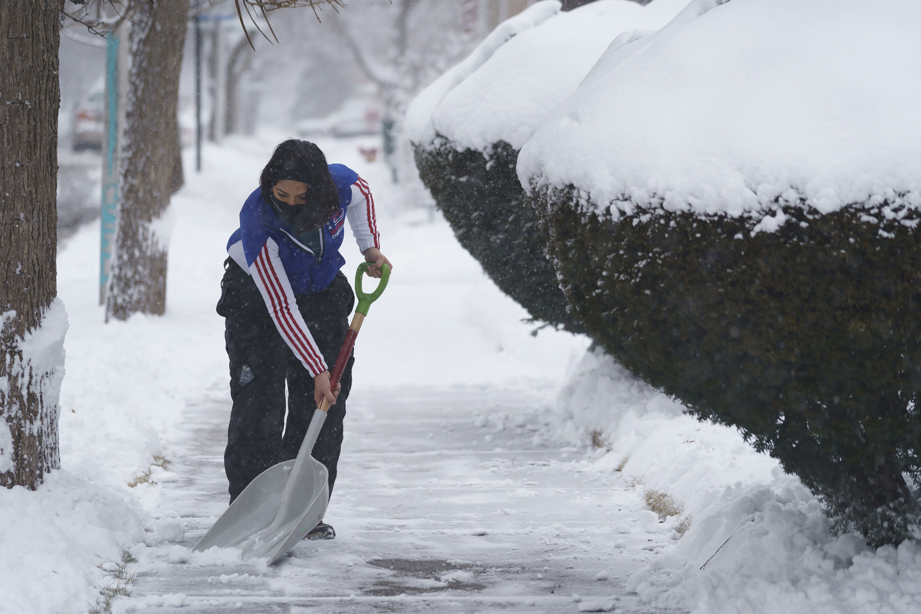
A significant winter storm system taking shape to the west is set to pummel the Chicago area by the end of this week, bringing with it heavy, wet snow, cold temperatures and strong, gusty winds of up to 50 miles per hour at times.
Thursday is expected to remain a mostly dry day, aside for some early morning flurries. Overnight and into early Friday morning, snow is likely to begin falling, potentially snarling both the morning and evening commutes.
Here's a breakdown of where the winter storm forecast stands right now.
Winter storm watch issued for entire Chicago area
Thursday night and Friday morning, a winter storm watch will go into effect for the entire Chicago area, with wind gusts in excess of 50 miles per hour and heavy snow possible as the weekend approaches.
According to the National Weather Service, that watch will go into effect in DeKalb, LaSalle, Kendall and Grundy counties on Thursday night. McHenry, Lake, Kane, DuPage, Cook, Will, and Kankakee counties in Illinois, as well as Lake and Porter counties in Indiana, will go under the watch at 6 a.m. Friday morning.
All counties will be under the watch until 12 p.m. Saturday, according to NWS officials.
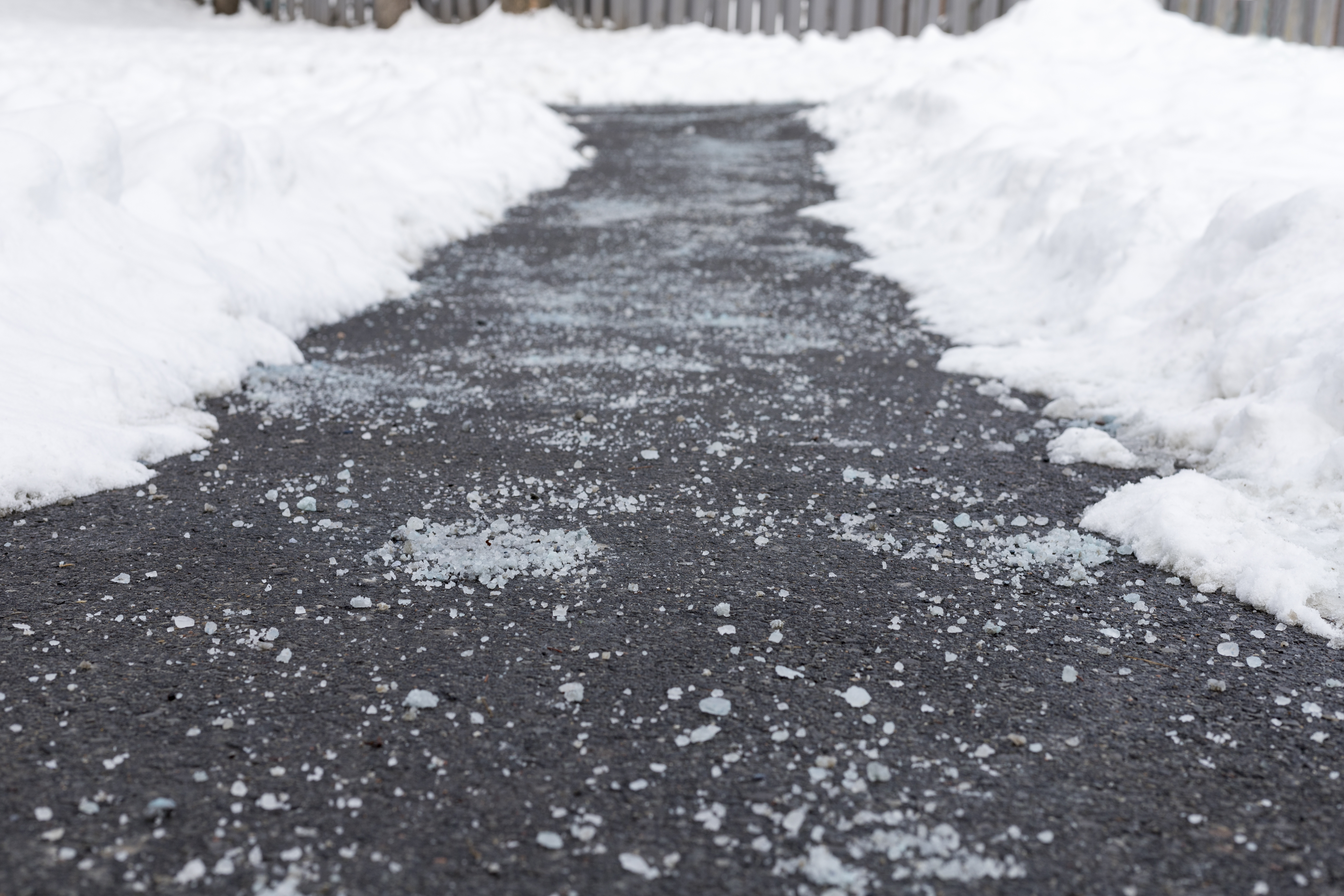
The main threats with the storm will be snow accumulations, which could exceed six inches in some locations.
Feeling out of the loop? We'll catch you up on the Chicago news you need to know. Sign up for the weekly Chicago Catch-Up newsletter.
The other threat will be the wind, with ferocious wind gusts in excess of 40-to-50 miles per hour causing blowing snow and “blizzard conditions” in some locations, according to NWS officials.
When will it snow?
NBC 5 Meteorologist Alicia Roman reported snow is likely to begin falling on Friday between 4 and 6 a.m., with wind gusts in the teens.
According to the NWS, a "burst" of heavy snow Friday morning near and north of I-80 is expected to occur, with snow falling at a rate of 1-3 inches per hour.
By 3 p.m., more intense, areawide snowfall is expected to occur, Roman said, with winds ramping upwards of 40 miles per hour.
Friday afternoon and into Friday evening, the "worst conditions" of the storm are expected to develop, the NWS added, with blizzard-like conditions expected to form Friday night.
"Strong, southwest winds may gust between 40 and 50 mph Friday night, causing significant blowing and drifting snow," the NWS warned, adding that strong winds along Lake Michigan could create "gale to storm-force winds and very hazardous waves," creating the potential for minor lake shore flooding.
The storm's strength and track are still developing, but "several inches of accumulating snow in combination with strong winds" could result in difficult travel across the area into Saturday, the NWS said.
The snow is expected to linger into Saturday, eventually tapering in the afternoon, Roman added.
Snow totals: How much will it snow?
In Kankakee, as well as areas closer to the lakefront could see snowfall in the form of rain, or lower or limited snow totals, similar to Tuesday's storm system.
"Strong onshore winds off a still mild Lake Michigan will once again cut into snow accumulations near the immediate shore during the day on Friday, including east of I90/94 in Illinois, and north of I-80/94 in Indiana," Roman said.
However, further inland, snow totals are upwards of 6 inches, forecast models show.
Roman estimated a high probability of 4 inches of snow or more across nearly all of Northeastern Illinois, with between 6 and 9 inches across Cook, Lake, McHenry and DeKalb counties.
In southern Cook County, those totals look to be slightly lower, with most areas seeing between 5 and 7 inches of snow.
Roman's earliest look at snow totals, which are subject to change, can be found below:

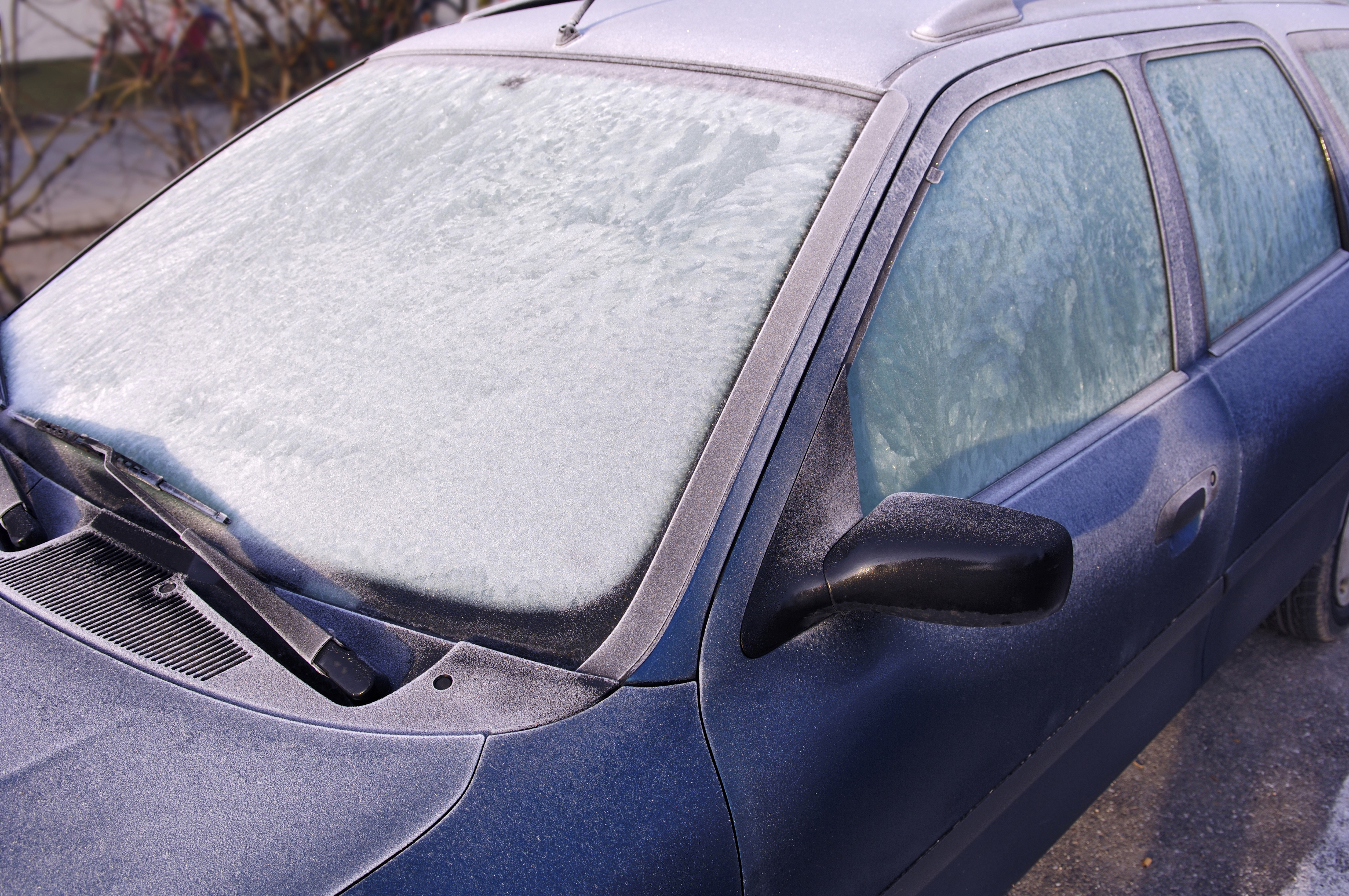
The snow combined with the strong winds could result in dangerous driving conditions and reduced visibility for both the Friday morning and evening commutes, the NWS said.
"Gusty winds could bring down tree branches and power lines," the NWS warned, adding that rapidly falling temperatures Friday might could lead to a flash freeze on untreated surfaces.
Upcoming cold will be 'brutal'
High temperatures Thursday are expected to be in the upper 20s to mid 30s, and remain in the mid 30s Friday.
By Saturday however, those temperatures, along with wind chill values, are expected to plummet.
NBC 5 Storm Team meteorologist Kevin Jeanes reported "feels-like" temperatures Saturday evening will be close to -6. By Sunday morning, it will feel even colder, at -18.
It gets worse from there.
Wind chill values are expected to be -25 Sunday night, -29 Monday morning, and -35 Tuesday.
Thursday, wind chill values will get above zero, with "feels-like' temperatures closer to the 20s.
A press release from the Federal Emergency Management Agency encouraged Chicago residents to take precautions ahead of the cold to stay safe.
“Now is the time to make sure you have food, water, medications, and other critical supplies at home to last for several days, especially in case of potential power outages due to heavy snow and high winds,” FEMA Region 5 Regional Administrator Tom Sivak said. “Limit your time outdoors, avoid non-essential travel and listen to local updates for the latest road conditions and closures. When it is safe, check on your neighbors or friends nearby who may need assistance.”
The NBC 5 Storm Team is tracking this forecast as it develops. Stay tuned for updates as each system approaches.